
Elevation 303 m Local time Monday 7:16 PM | Time zone IST (UTC+5:30) Population 6,478 (2001) | |
 | ||
Weather 21°C, Wind N at 5 km/h, 34% Humidity | ||
Ghorawal is a town and a nagar panchayat in Sonbhadra district in the Indian state of Uttar Pradesh.
Contents
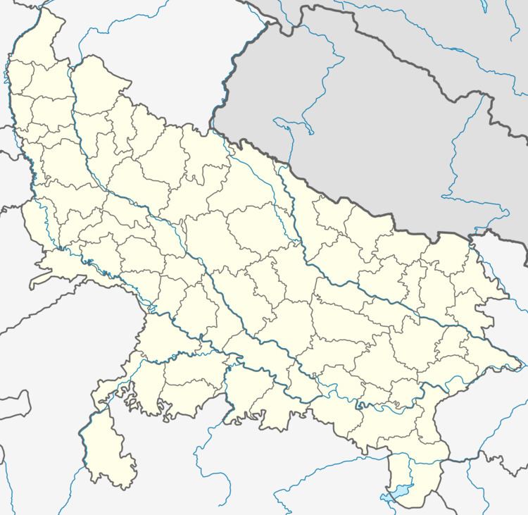
Map of Ghorawal, Uttar Pradesh 231210
Geography
bina is located at 24.77°N 82.78°E / 24.77; 82.78. It has an average elevation of 303 metres (994 feet).
Demographics
As of 2001 India census, Ghorawal had a population of 6,478. Males constitute 54% of the population and females 46%. Ghorawal has an average literacy rate of 59%, lower than the national average of 59.5%: male literacy is 69%, and female literacy is 47%. In Ghorawal, 18% of the population is under 6 years of age.
References
Ghorawal Wikipedia(Text) CC BY-SA