
Country India District Betul District Talukas Ghoradongri Area 56 km² Area code 07146 | State Madhya Pradesh Founded by Adivasi Time zone IST (UTC+5:30) Local time Monday 7:11 PM | |
 | ||
Weather 25°C, Wind N at 6 km/h, 22% Humidity | ||
Light and sound show chennai rajdhani skips ghoradongri at midnight
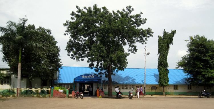
Ghoradhongri is a village located about 40 km from Betul District, Madhya Pradesh, India. It has a population of about 10,000.
Contents
- Light and sound show chennai rajdhani skips ghoradongri at midnight
- Map of Ghoradongri Madhya Pradesh 460443
- References
Map of Ghoradongri, Madhya Pradesh 460443
This village is connected with Sarni, Betul, Itarsi via road. The railway station is connected to two main railway stations (nearby) i.e. Itarsi Junction (in Madhya Pradesh) and Nagpur (in Maharashtra). Most of the people come here by rail because of Sarni, 18 km away which has an MPEB Thermal power plant and WCL - coal mines located in Pathakhera, about 15 km away. Major occupation for the people is working in coal mines and in the thermal power plant.
Provision shops are common here in many houses. Many Adiwasi called Gound (a tribe in Madhya Pradesh) stay are near to this place. The language spoken here is Hindi. New weekly market called “Gujari” has been started on Tuesdays while the Saturday weekly market still continues. Lots of Adivasi ornaments can also be bought from this market which are in vogue in the "modern world".