
Postcode(s) 3331 Postal code 3331 | Gheringhap Batesford Local time Monday 11:35 PM | |
 | ||
Weather 18°C, Wind S at 14 km/h, 96% Humidity | ||
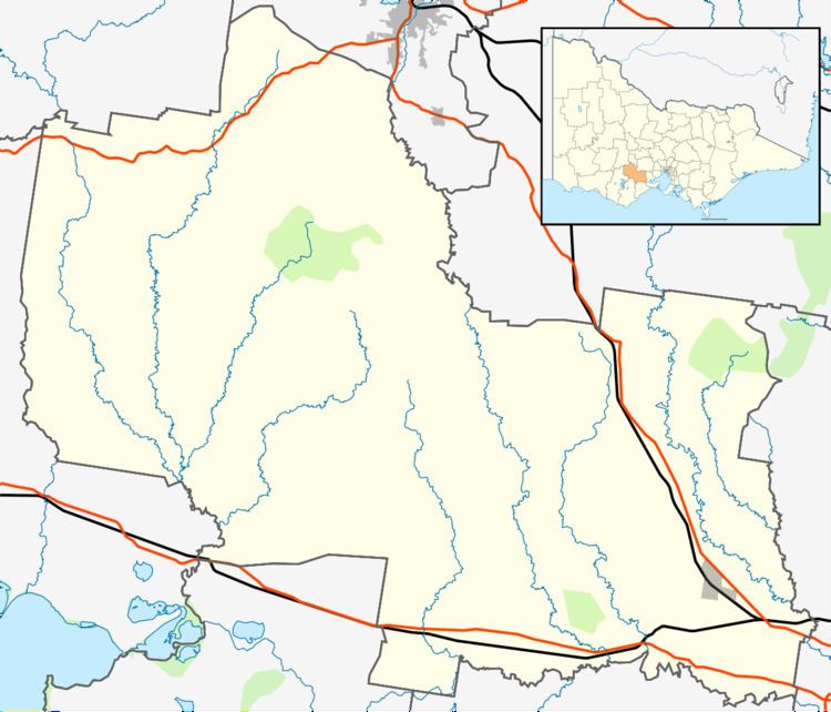
Gheringhap is a rural township near Geelong, Victoria, Australia, located approximately 83 km southwest of Melbourne, between Geelong and Meredith on the Midland Highway. Gheringhap is located in the Golden Plains Shire.
Map of Gheringhap VIC 3331, Australia
The town is located at the junction of the Geelong-Ballarat railway and the Western standard gauge railway which connects Melbourne and Adelaide. Railpage Australia operates a "Railcam" at Gheringhap, which photographs freight and passenger train movements.
Gheringhap Post Office opened on 1 April 1869 and closed in 1968. Gheringhap School opened in 1858 and closed in 1906 due to falling attendance.
References
Gheringhap, Victoria Wikipedia(Text) CC BY-SA