Website onlinegharaunda.com Population 30,179 (2001) | Time zone IST (UTC+5:30) Elevation 213 m Local time Monday 4:54 PM | |
 | ||
Weather 22°C, Wind NW at 14 km/h, 35% Humidity Neighborhoods Jal Singh Colony, Ward Number 3, Nasib Vihar Colony | ||
Gharaunda is a city and a municipal committee in Karnal district in the state of Haryana, India. It is situated at a distance of sixty-five miles to the northwest of New Delhi. It is eleven miles from Karnal, the district headquarters. The Amritsar-Delhi main broad-gauge railway line passes through the town.
Contents
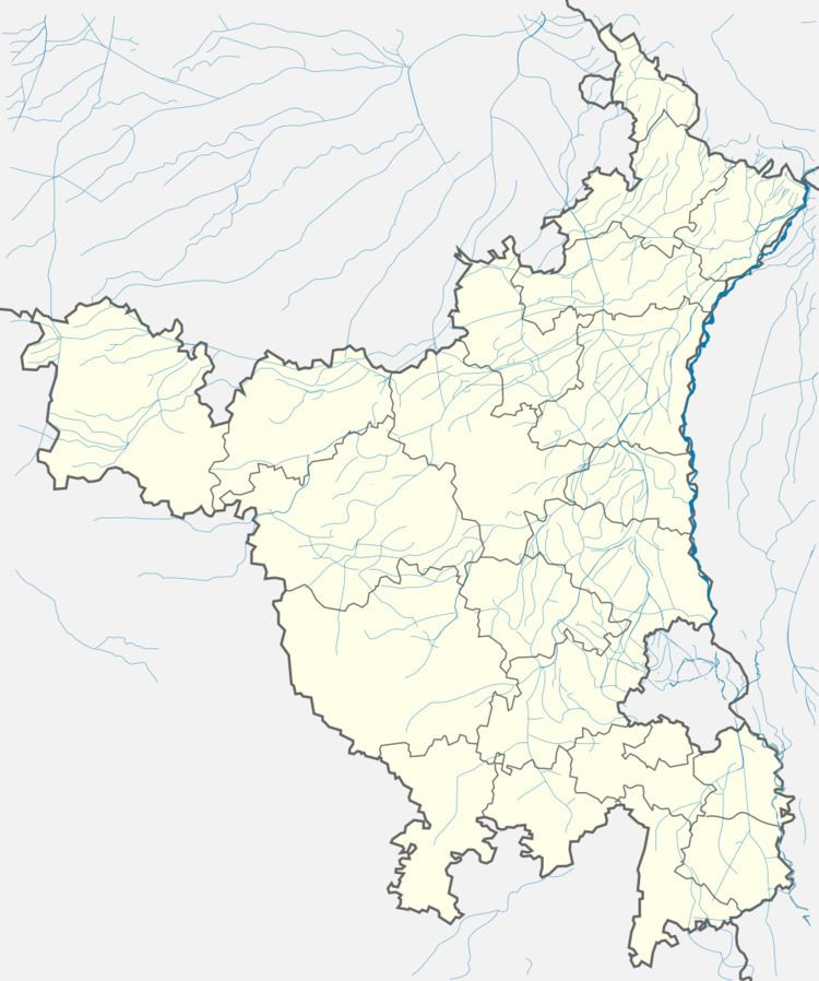
Map of Gharaunda, Haryana 132114
Geography
Gharaunda is located at 29.54°N 76.97°E / 29.54; 76.97. It has an average elevation of 213 metres (698 feet). The municipal area of the town is 4.37 km² which does not include the existing and proposed area to be developed by Haryana Urban Development Authority under any town and country planning scheme.
Demographics
As of 2001 India census, Gharaunda had a population of 30,179. Males constitute 54% of the population and females 46%. Gharaunda has an average literacy rate of 67%, higher than the national average of 59.5%: male literacy is 74%, and female literacy is 59%. In Gharaunda, 14% of the population is under 6 years of age. The main community of gharaunda is Rajput.Thay a big population nearby gharaunda.
Local Politics
Currently, Gharaunda constituency of Haryana Legislative Assembly in Karnal district is represented by Bhartiya Janata Party's Politician Harwinder Kalyan who got 55247 votes to win by a margin of 8,883 votes on 19th October 2014.
