
Area 4,052 km² | Time zone PST (UTC+5) | |
 | ||
Website www.visitgilgitbaltistan.gov.pk | ||
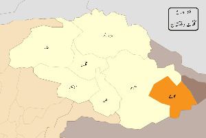
Ghanche District(Urdu: ضلع گانچھے) (Balti: Gangchay) is the easternmost district of Gilgit–Baltistan, Pakistan. To its northeast is Xinjiang (China), to the north and northwest is Skardu District, to its west is Astore District and to its south is Ladakh of Indian administered Jammu and Kashmir. The Actual Ground Position Line (AGPL) at the easternmost part of Ghanche District is located across the Saltoro Ridge. Territory east of the AGPL is currently controlled by India including the entire Siachen Glacier. It has been proposed by moderates in Pakistan and India to make the Siachen Glacier region a Peace Park. Pakistan controls west of Saltoro Ridge.
Contents

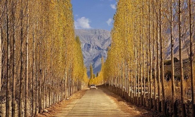
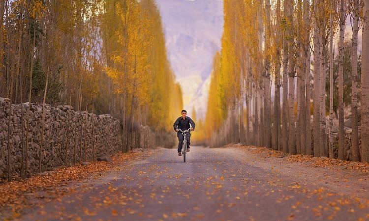
The capital of Ghanche District is Khaplu. This region is the coldest place within Pakistan also called the "Third Pole" with temperatures reaching below -20 °C in the winter. Khaplu Valley and Hushe Valley form the gateway for the great Baltoro Muztagh, the subrange of Karakoram that includes the mighty peaks of K2 (8,611 m), Broad Peak (8,047 m), Gasherbrums (8,000+ m) and Masherbrum (7,821 m) (all of which are included in the Skardu District).
Etymology
The word Gangchay is Balti and means "glacier". It is locally used by natives of the Khaplu Valley for Shyok river which flows the length of Khaplu town. When the Pakistani government gave it the grade of district, people of the valley selected the name of "Ghanche" willingly.
Administration
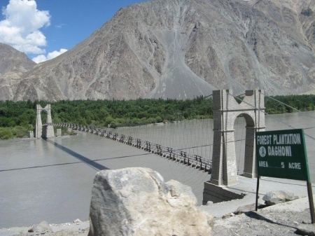
Khaplu consists of 56 blocks, each block containing many villages and these blocks have been divided into three subdivisions: Khaplu, Daghoni and Masherbrum. Four villages of Chorbat Valley were lost by Indian invasion in 1971. They were Chalunka, Tyakshi, Thang and Turtuk. Some of them are given in the chart below.
Religion
All the people living in Ghanche are Muslims and mostly people belong to Nurbakhshi (90%) branch of Islam whereas there are Shia Ithna-ashri and others (10%) Muslims as well. The scholar is religious leader called ‘Bowa’ in local language and has very important place in society.
Education
According to the Alif Ailaan Pakistan District Education Rankings 2015, Ghanche is ranked 54 out of 148 districts in terms of education. For facilities and infrastructure, the district is ranked 98 out of 148.