
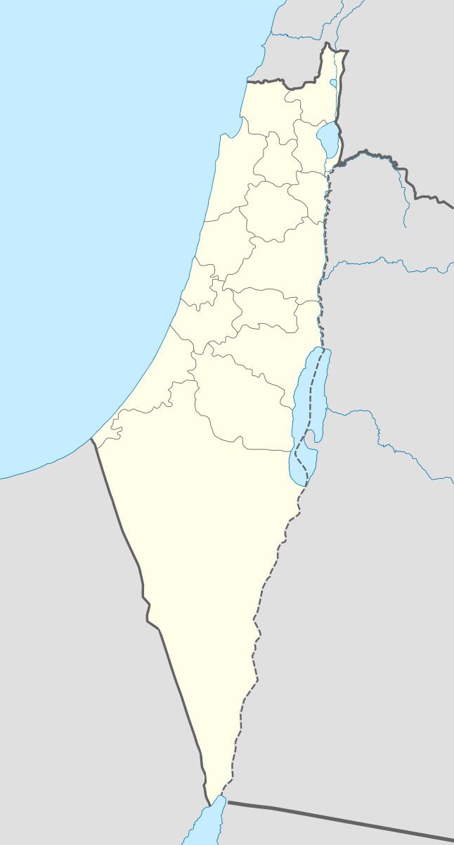
Arabic غبّاطية Subdistrict Safad Date of depopulation 30 October 1948 | Also spelled Ghabbatiya Palestine grid 185/268 | |
 | ||
Name meaning Kh. Ghabbâtî, the ruin of Ghabbâti; perhaps from ghabit, “low-lying land” | ||
Ghabbatiyya (Arabic: غبّاطية) was a Palestinian Arab hamlet in the Safad Subdistrict. It was depopulated during the 1948 Arab-Israeli War on October 30, 1948 under Operation Hiram. It was located 12 km northwest of Safad.
Contents
In 1945 it had a population of 60 Muslims.
History
The village was located on a rugged hill between Mount al-Jarmaq (1208 m) and Mount ‘Adathir (1009m). Three wadis in the vicinity supplied Ghabbatiyya with water.
In 1881 the Palestine Exploration Fund's Survey of Western Palestine found at Kh. Ghabbâti "foundations of walls and one olive press".
British mandate era
The Palestine Gazetteer revealed that it was classified as a hamlet, primarily involved in agriculture and animal husbandry. A road connected it to highways that led to Safad and Nahariyya, a Jewish settlement on the Mediterranean.
In the 1922 census of Palestine conducted by the British Mandate authorities, ‘’Ghabbatia’’ had a population of 9 Muslims.
By 1945 the population was 60 Muslims, with a total of 3,453 dunams of land, according to an official land and population survey. Of this, 15 dunams were plantations and irrigable land, 412 for cereals; while a total of 2,509 dunams was non-cultivable area.
1948, aftermath
Israeli forces occupied Ghabbatiyya on 30 October 1948, during the second phase of Operation Hiram and according to an Israeli army spokesman, several hundred of the area’s Arab Liberation Army garrison were killed, and several hundred taken prisoner.