
- right Mihocheon Basin area 9,912 km² | Length 395 km | |
 | ||
- left Gapcheon, Ganggyeongcheon - location Esturay bank, Seocheon, South Chungcheong - average 132 m/s (4,662 cu ft/s) Province South Chungcheong Province | ||
Kayaking geum river
The Geum River is located in South Korea. It is a major river that originates in Jangsu-eup, North Jeolla Province. It flows northward through North Jeolla and North Chungcheong Provinces and then changes direction in the vicinity of Greater Daejeon and flows southwest through South Chungcheong Province before emptying into the Yellow Sea near Gunsan city.
Contents
- Kayaking geum river
- Map of Geum River Janghang eup Seocheon gun
- Geum river of gong ju
- History and Culture
- Economy
- References
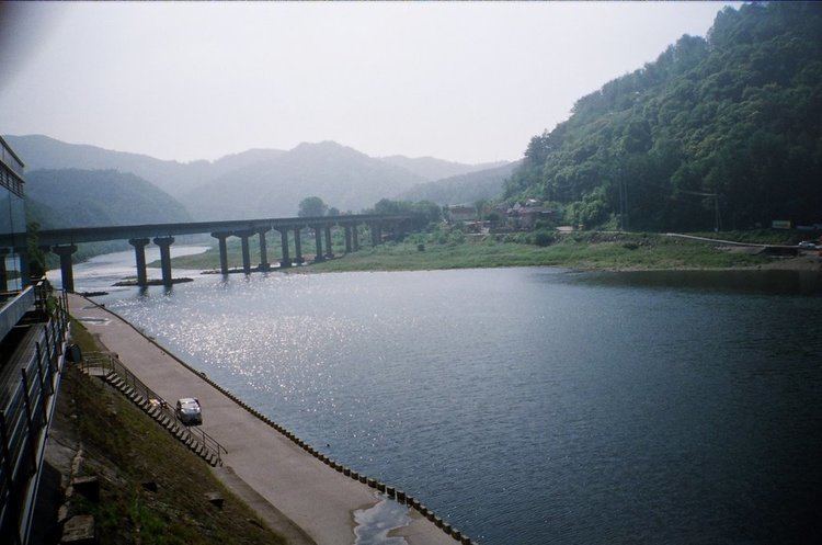
Map of Geum River, Janghang-eup, Seocheon-gun
The river is 401 kilometres (249 mi) long, making it the third longest in South Korea. The area of the Geum River Basin is 9,859 square kilometres (3,807 sq mi). The upper part of the river flows slowly through part of the Noryeong Mountains and is marked by extensive stream meandering. On the other hand, river curves on middle and lower parts of the river are more gradual and there is comparatively less stream meandering.
Tributary streams of the Geum include the Gap-cheon, Yugu-cheon, Miho-cheon, Unsan-cheon, Seokseong-cheon, and Nonsan-cheon. Several small alluvial plains including the Honam and Nonsan Plain have been formed by the flow of the Geum and its tributaries.
Geum river of gong ju
History and Culture
In the area of Buyeo County, the river bears the name Baengma-gang, which means White Horse River. Numerous legends associate the ancient kingdom of Baekje with the Baengma. The Baengma River is the subject of a well-known song of the sin minyo tradition, Kkumkkuneun Baengma-gang (꿈꾸는 백마강, "Dreaming Baengma-gang").
The Geum River and its tributaries were a means of cultural contact from prehistoric times (see Mumun Pottery Period) and into the Three Kingdoms of Korea through their ancient function as a transportation route that begins on the west coast and penetrates deep in the interior of the Peninsula. Bronze Culture flourished in this area from c. 850 B.C.-A.D. 100 (see Liaoning bronze dagger culture). Archaeological evidence suggests that some of the very first complex societies in southern Korea briefly flourished in the valleys formed by tributaries of this river.
The Geum River Basin contained the chiefdoms of Mahan, and a former centres of the early kingdom of Baekje such as Ungjin (AD 475-525) and Sabi (AD 525-660) are located along the Baengma portion of the river.
The river's Korean name ("Silk River") is a homonym of the word for "diamond" (금강; 金剛) and should not be confused with Kŭmgang Mountain (금강산; 金剛山; "Diamond Mountain") in North Korea.
Economy
Dams have been built on the Middle and Upper Geum to facilitate water for agriculture and industry. They include the Daecheong Dam and the Yongdam Dam. The city of Greater Daejeon and the farms and industries of South Chungcheong Province rely heavily on the Geum River and its tributaries.
The alluvial plains formed by the Geum and its tributaries are the locations of significant agricultural production in Korea.