
Admin. region Oberfranken Elevation 606 m (1,988 ft) Area 15.57 km² Local time Monday 5:34 AM Administrative region Upper Franconia | Time zone CET/CEST (UTC+1/+2) Population 3,016 (31 Dec 2008) Postal code 95179 | |
 | ||
Weather -3°C, Wind SW at 5 km/h, 88% Humidity | ||
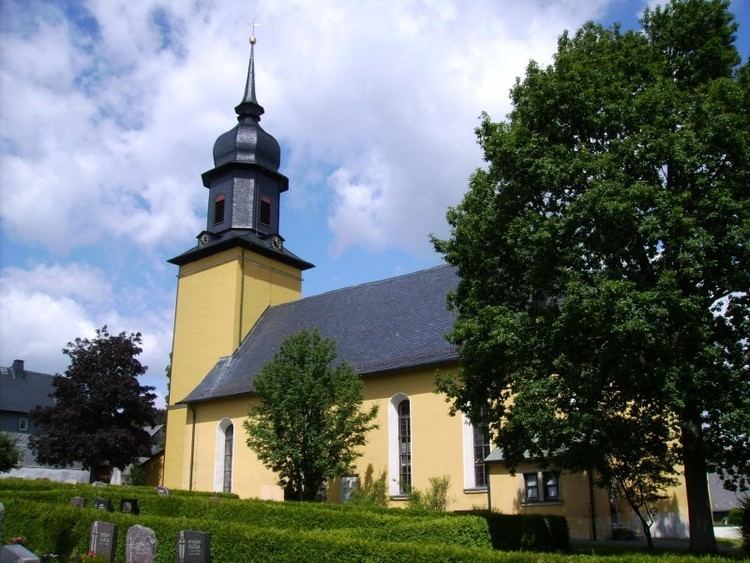
Geroldsgrün is a municipality in the Hof district of Bavaria, Germany.
Contents
Map of 95179 Geroldsgr%C3%BCn, Germany
Boroughs
The boroughs of Geroldsgrün for the most part are registered air health resorts.
History
The earliest mention of the town is 1323 as Gerhartsgrün. Until recently Geroldsgrün always has been a bordertown between various dominions. In the past it was on the border of the Archdiocese of Bamberg to Grafen von Orlamünde, later between the diocese and Margravate Bayreuth-Kulmbach and in recent times until the reunification between West- and East-Germany.
In 1972 the former municipality of Dürrenwaid becomes part of Geroldsgrün and with the dissolution of the district of Naila Geroldsgrün becomes part of the rural district of Hof. On 1 May 1978 Geroldsgrün reached its current size with the inclusion of Langenbach and Steinbach.
Climate
The annual average temperature in Geroldsgrün is 6.7 °C, the average rainfall is 1,002 mm.