
Time zone CET (UTC+1) Website kreis-germersheim.de | Vehicle registration GER Population 125,603 (31 Dec 2008) | |
 | ||
Points of interest Deutsches Straßenmuseum, Terra‑Sigillata‑Museum, Fronte Beckers, Alte Stiege (Stiegel), Ehem Seysselkaserne Destinations | ||
Germersheim ( [ˈgeːɐ̯məɐ̯sˌhaɪm]) is a district (Kreis) in the south-east of Rhineland-Palatinate, Germany. Neighboring districts are (from west clockwise) Südliche Weinstraße, Rhein-Pfalz-Kreis, the district Karlsruhe as well as the district-free city of Karlsruhe, and the French département Bas-Rhin.
Contents
Map of Germersheim, Germany
History
Most of the region was part of the Palatinate from the 11th century on. The bishops of Speyer owned some lands, too. The Palatinate was destroyed in the Napoleonic Wars, and the clerical states of Germany were dissolved in 1803. After a period of French occupation the Congress of Vienna decided to hand the territories over to Bavaria. The region remained a part of Bavaria until World War II; afterwards it was incorporated into the newly established state of Rhineland-Palatinate.
Geography
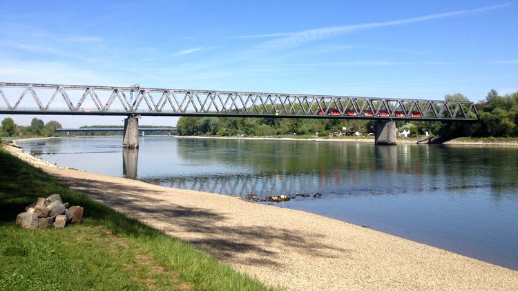
The Rhine river marks (with a few exceptions) the eastern boundary of the district, the river Lauter most of the southern boundary. The landscape of the district consists of the Rhine valley, in the north and east meeting the jungle-like areas of old Rhine arms, in the south covering the Bienwald (a forest stretching into the north of Alsace).