
GNIS feature ID 453328 Elevation 146 m Population 7,441 (2010) | ZIP codes 47712, 47720 Area 74.7 km² Local time Sunday 4:57 PM | |
 | ||
Weather 6°C, Wind E at 5 km/h, 24% Humidity | ||
German Township is one of eight townships in Vanderburgh County, Indiana, USA. As of the 2010 census, its population was 7,441 and it contained 2,909 housing units.
Contents
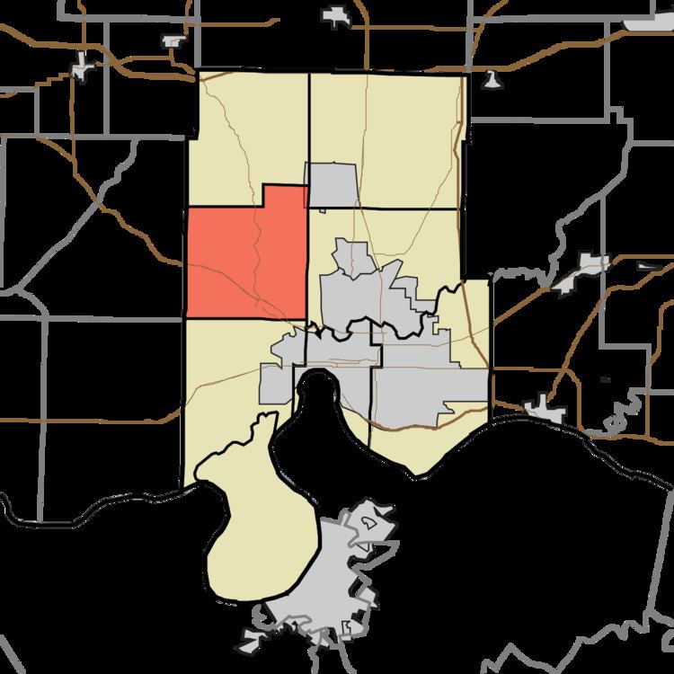
- Map of German Township IN 47720 USA
- Geography
- Cities and towns
- Unincorporated towns
- Adjacent townships
- Cemeteries
- School districts
- Political districts
- References
Map of German Township, IN 47720, USA
German Township was organized in 1845.
Geography
According to the 2010 census, the township has a total area of 28.84 square miles (74.7 km2), of which 28.56 square miles (74.0 km2) (or 99.03%) is land and 0.28 square miles (0.73 km2) (or 0.97%) is water.
Cities and towns
Unincorporated towns
Adjacent townships
Cemeteries
The township contains these cemeteries: Higinbottom, Huber, Richter, Saint Peters, St. Joseph, and St. Paul's.
School districts
Political districts
References
German Township, Vanderburgh County, Indiana Wikipedia(Text) CC BY-SA