
Area 76.46 km² Local time Wednesday 12:32 PM | GNIS feature ID 453091 Elevation 136 m Population 1,599 (2010) | |
 | ||
ZIP codes 47613, 47633, 47639, 47720, 47725 Weather 13°C, Wind W at 32 km/h, 64% Humidity | ||
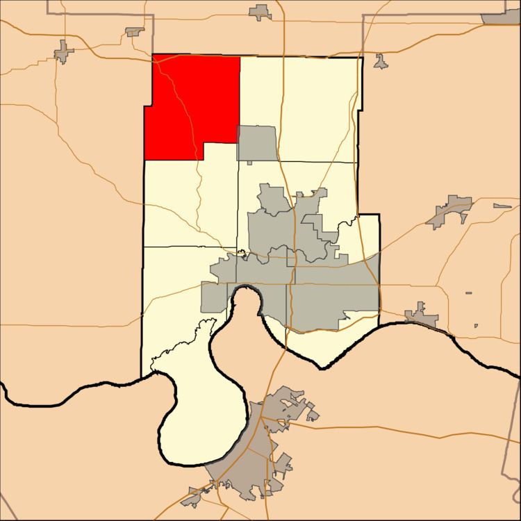
Armstrong Township is one of eight townships in Vanderburgh County, Indiana, USA. As of the 2010 census, its population was 1,599 and it contained 634 housing units.
Contents
- Map of Armstrong Township IN USA
- Geography
- Cities and towns
- Unincorporated towns
- Adjacent townships
- Airports and landing strips
- School districts
- Political districts
- References
Map of Armstrong Township, IN, USA
Geography
According to the 2010 census, the township has a total area of 29.52 square miles (76.5 km2), of which 29.48 square miles (76.4 km2) (or 99.86%) is land and 0.04 square miles (0.10 km2) (or 0.14%) is water.
Cities and towns
Unincorporated towns
Adjacent townships
Airports and landing strips
School districts
Political districts
References
Armstrong Township, Vanderburgh County, Indiana Wikipedia(Text) CC BY-SA