
Area 3.47 km² | Canton Buxy Local time Sunday 9:29 PM | |
 | ||
Region Bourgogne-Franche-Comté Intercommunality Sud de la Côte chalonnaise Weather 12°C, Wind W at 8 km/h, 73% Humidity | ||
Germagny is a commune in the Saône-et-Loire department in the region of Bourgogne in eastern France.
Contents
Map of 71460 Germagny, France
Geography
The village is located on the Guye river valley. The main roads connect the village to Savianges and Fley to the north, Bissy-sur-Fley to the east, Genouilly to the south and le Puley to the west.
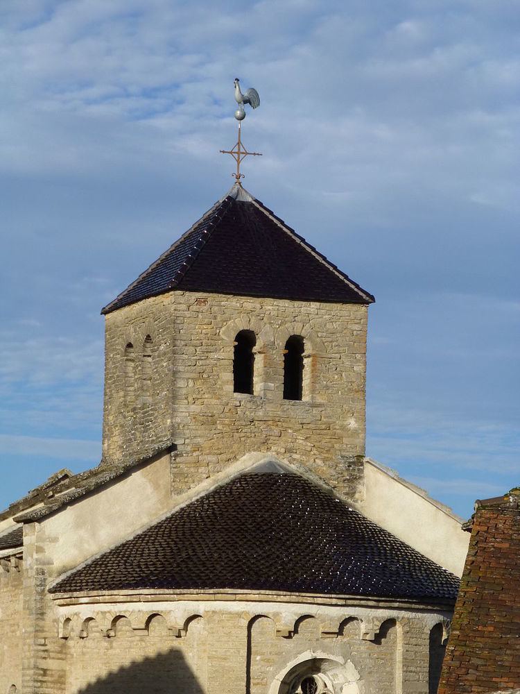
Main sights
References
Germagny Wikipedia(Text) CC BY-SA