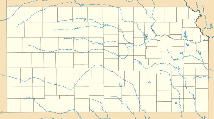
Country United States County Barber Area code(s) 620 Elevation 426 m | State Kansas Time zone Central (CST) (UTC-6) GNIS feature ID 484521 Local time Sunday 3:22 PM | |
 | ||
Weather 3°C, Wind S at 34 km/h, 73% Humidity | ||
Gerlane is an unincorporated community in Barber County, Kansas, United States. Gerlane is 9 miles (14 km) south of Medicine Lodge.
Contents
Map of Gerlane, Nippawalla, KS 67070, USA
History
Gerlane once had its own bank, the Gerlane State Bank, chartered in 1917. Gerlane was situated on the Atchison, Topeka and Santa Fe Railway, but declined after the tracks were removed in 1942.
A post office was opened in Gerlane in 1909, and remained in operation until it was discontinued in 1943.
References
Gerlane, Kansas Wikipedia(Text) CC BY-SA
