
Length 82.9 km | ||
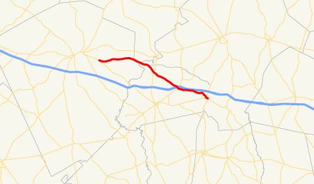 | ||
State Route 86 (SR 86) is a 51.5-mile-long (82.9 km) state highway in rural areas of the central part of the U.S. state of Georgia. The highway travels from a point southeast of East Dublin southeast to a point about halfway between Lyons and Reidsville.
Contents
Map of GA-86, Georgia, USA
Route description
SR 86 begins at an intersection with SR 29 southeast of East Dublin. The route heads easterly to an intersection with SR 15/SR 78 south of Adrian. Farther to the southeast, SR 86 crosses, but does not intersect, Interstate 16 (I-16) northeast of Soperton. Almost immediately afterward, US 221/SR 56 crosses the path. SR 86 parallels I-16 until just before an intersection with SR 46. The two routes form a concurrency for about 6 miles (9.7 km) to an intersection with US 1/SR 4 in Oak Park. It then forms a brief concurrency with US 1/SR 4 through the city. The road, then, takes a more southerly turn toward its eastern terminus. There are intersections with SR 152 and SR 292 in rural Toombs County. Finally, the route meets its eastern terminus at an intersection with US 280/SR 30 halfway between Lyons and Reidsville.