
Length 21.9 km | ||
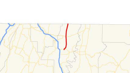 | ||
State Route 71 (SR 71) is a state highway in the northwest part of the U.S. state of Georgia. The highway runs 13.6 miles (21.9 km) from Dalton northeast and, then, north, to the Tennessee state line, northeast of Cohutta, where the roadway continues as Tennessee State Route 60.
Contents
Map of GA-71, Georgia, USA
Route description
SR 71 begins at an intersection with US 41/US 76/SR 3 in Dalton. South of the intersection, the roadway continues as North Glenwood Avenue. The route briefly heads north out of the city. It then turns northeast before heading north for the reast of its routing. In Varnell is an intersection with SR 2. At the Tennessee state line, SR 71 meets its northern terminus, at Tennessee State Route 60.
Major intersections
The entire route is in Whitfield County.
References
Georgia State Route 71 Wikipedia(Text) CC BY-SA