
Existed: 1963 (1963) – present Length 15.8 km | Counties: Marion | |
 | ||
North end: SR 355 south-southwest of Juniper | ||
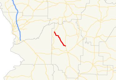
State Route 352 (SR 352) is a 9.8-mile-long (15.8 km) southeast-to-northwest state highway in northwestern Marion County in the west-central part of the U.S. state of Georgia. Its entire length is located just to the east of Fort Benning.
Contents
Map of GA-352, Georgia, USA
Route description
SR 352 begins at an intersection with SR 41 north-northwest of Buena Vista, just to the east of Brantley. The highway travels to the northwest through generally rural parts of the county, until it meets its northern terminus, an intersection with SR 355 south-southwest of the community of Juniper.
History
SR 352 was built along its current alignment between 1960 and 1963. By 1966, the entire length of road was paved.
Major intersections
The entire route is in Marion County.
References
Georgia State Route 352 Wikipedia(Text) CC BY-SA