
Length 16.1 km | ||
 | ||
Counties | ||
State Route 286 (SR 286) is a west-east state highway located in the northwestern part of the U.S. state of Georgia.
Contents
Map of GA-286, Georgia, USA
Route description
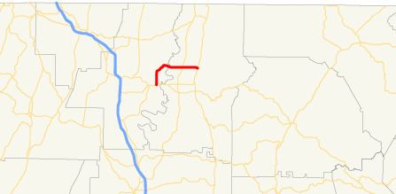
SR 286 begins at an intersection with US 76/SR 52 east of Dalton in Whitfield County. The route heads north, then turns east, crossing the Conasauga River into Murray County. It continues nearly due east into downtown Eton where it meets its eastern terminus, an intersection with US 411/SR 2/SR 61.
References
Georgia State Route 286 Wikipedia(Text) CC BY-SA