
Existed: 1949 – present Counties: DeKalb Constructed 1949 | Length 1.9 km | |
 | ||
West end: US 23 / SR 42 in Atlanta | ||
State Route 260 (SR 260) is a very short west-east state highway located in the northern part of the U.S. state of Georgia. Its route is entirely within DeKalb County.
Contents
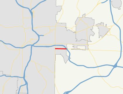
Map of GA-260, Atlanta, GA, USA
Route description
SR 260 begins at an intersection with US 23/SR 42 (Moreland Avenue SE) in Atlanta. The route makes a beeline to the east to meet its eastern terminus, an interchange with I-20 just east of Atlanta.
The route is a mostly urban route, passing mostly businesses, churches, and schools. At its eastern terminus is DeKalb Memorial Park.
No section of SR 260 is part of the National Highway System, a system of routes determined to be the most important for the nation's economy, mobility and defense.
History
SR 260 was established in 1949 on a routing that had the same western terminus at US 23/SR 42, but went further to the east, to an intersection with SR 12. At that time, the entire route was paved.
Major intersections
The entire route is in DeKalb County.