
Length 20.8 km | Counties: Charlton | |
 | ||
South end: SR 23 / SR 121 southwest of St. George | ||
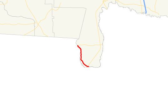
State Route 185 (SR 185) is a 12.90-mile (20.76 km) state highway located in the southeastern part of the U.S. state of Georgia. It lies entirely within Charlton County.
Contents
Map of GA-185, St George, GA 31562, USA
Route description
The highway begins at an intersection with SR 23/SR 121 at a point just north of the Florida state line (and near the southernmost point in the state). It heads northwest, skirting the nearby Florida state line to its west. County Road 120 is accessible via Reynolds Bridge Road. SR 185 continue to the northwest, through Rural areas, until it meets its northern terminus, and intersection with SR 94. Geographically, it is the second-southernmost state highway in the state, after SR 23/SR 121, which have their southern terminus just a little further than SR 185.
Major intersections
The entire route is in Charlton County.