
Length 45.5 km | ||
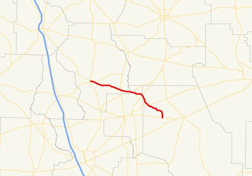 | ||
State Route 168 (SR 168) is a state highway that runs west–east through portions of Berrien, Lanier, and Clinch counties in the south-central part of the U.S. state of Georgia.
Contents
Map of GA-168, Georgia, USA
Route description
The route begins at an intersection with US 129/SR 11/SR 76/SR 125 in Nashville. It heads southeast to an intersection with SR 64/SR 135 north of Lakeland, where SR 64 begins a concurrency to the east. Farther to the east, SR 64 leaves the concurrency to the northeast. Northwest of its eastern terminus is an intersection with US 221/SR 31. The highway continues to the southeast until it meets its eastern terminus, an intersection with SR 37 west of Homerville.
References
Georgia State Route 168 Wikipedia(Text) CC BY-SA