
Length 60.4 km | ||
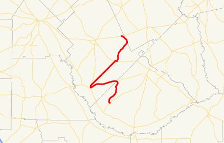 | ||
State Route 165 (SR 165) is a 37.5-mile-long (60.4 km) state highway that runs south-to-north, with a west-to-east middle section, through portions of Telfair, Dodge, and Laurens counties in the central part of the U.S. state of Georgia.
Contents
Map of GA-165, Georgia, USA
Route description
SR 165 begins at an intersection with SR 132 southeast of Rhine, in Telfair County. It heads to the northeast to the town of Milan, where it intersects US 280/SR 30. The three highways head to the west-southwest concurrently and enter Dodge County. In Rhine, they meet SR 117, where SR 165 departs to the north, concurrent with SR 117. Shortly afterward, SR 165 departs to the northeast and enter Chauncey. There, they meet US 23/US 341/SR 27. The four have a brief concurrency in the town, until SR 165 departs to the northeast. It continues to the northeast and very briefly enters Laurens County. Then, it re-enters Dodge County and meets its northern terminus, an intersection with SR 46 northeast of Eastman.
SR 165 is not part of the National Highway System, a system of roadways important to the nation's economy, defense, and mobility.