
Length 30.9 km | ||
 | ||
West end: US 1 / SR 4 / SR 15 southeast of Uvalda | ||
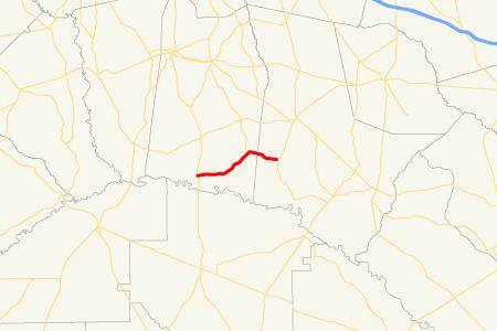
State Route 147 (SR 147) is a 19.2-mile-long (30.9 km) state highway that runs west-to-east through portions of Toombs and Tattnall counties in the east-central part of the U.S. state of Georgia.
Contents
Map of GA-147, Georgia, USA
Route description
SR 147 begins at an intersection with US 1/SR 4/SR 15 southeast of Uvalda and curves to the northeast to an intersection with SR 178. The two highways run concurrent for 4.1 miles (6.6 km). It then heads northeast to its eastern terminus an intersection with US 280/SR 30 in Reidsville.
SR 147 is not part of the National Highway System, a system of roadways important to the nation's economy, defense, and mobility.
References
Georgia State Route 147 Wikipedia(Text) CC BY-SA