
South end: SR 117 near China Hill Length 29.9 km | Counties: Telfair | |
 | ||
North end: US 319 / US 441 / SR 31 in McRae | ||
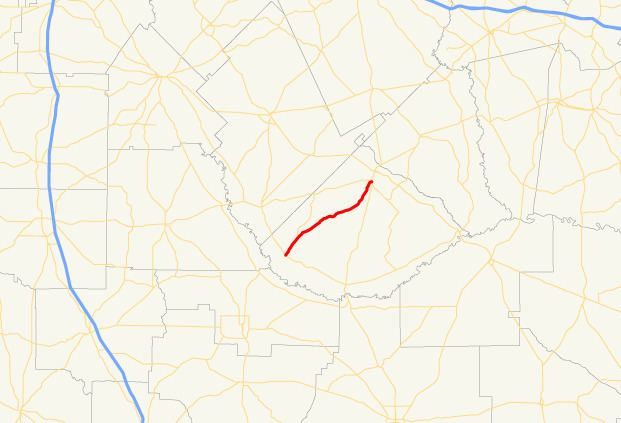
State Route 132 (SR 132) is a 18.6-mile-long (29.9 km) state highway that runs south-to-north through south-central portions of Telfair County in the central part of the U.S. state of Georgia.
Contents
Map of GA-132, Georgia, USA
Route description
The route begins at an intersection with SR 117 near China Hill (about thirteen miles (21 km) northeast of Fitzgerald). It heads northeast to an intersection with SR 165 before it meets its northern terminus, an intersection with US 319/US 441/SR 31 in the southern part of McRae.
SR 132 is not part of the National Highway System.
Major intersections
The entire route is in Telfair County.
References
Georgia State Route 132 Wikipedia(Text) CC BY-SA