
Counties: Chattooga | Length 20.4 km | |
 | ||
North end: US 27 / SR 1 / SR 100 in Summerville | ||
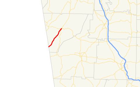
State Route 114 (SR 114) is a 12.7-mile-long (20.4 km) state highway located entirely within Chattooga County in the northwestern part of the U.S. state of Georgia.
Contents
Map of GA-114, Georgia, USA
Route description
The route begins at the Alabama state line as a continuation of Alabama State Route 68. The highway runs parallel to the Chattooga River, going through the towns of Chattoogaville and Lyerly before reaching Summerville. In Summerville, SR 100 has a short concurrency with SR 114 until they both reach their northern terminus at an intersection with US 27/SR 1.
SR 114 is not part of the National Highway System, a system of roadways important to the nation's economy, defense, and mobility.
Major intersections
The entire route is in Chattooga County.
References
Georgia State Route 114 Wikipedia(Text) CC BY-SA