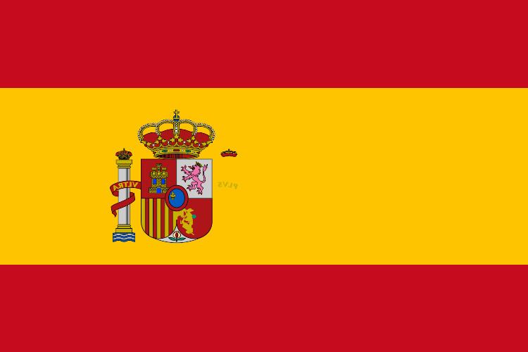
Longest river Tagus Area 505,990 km² Continent Europe, Africa | Largest lake Lago de Sanabria Largest city Madrid | |
 | ||
Region Southern Europe
Iberian Peninsula Coordinates 1,917.8 km (1,191.7 mi)
Portugal:
1,214 km (754 mi)
France:
623 km (387 mi)
Andorra:
63.7 km (39.6 mi)
Morocco (Melilla):
9.6 km (5.97 mi)
Morocco (Ceuta):
6.3 km (3.91 mi)
Gibraltar:
1.2 km (0.75 mi) Highest point Teide (Canary Islands)
3,718 m (12,198 ft)
Mulhacén (Iberian Peninsula)
3,477 m (11,407 ft) Lowest point Atlantic Ocean, Mediterranean Sea
0 m (0 ft) (Sea level) Provinces Asturias, La Rioja, Community of Madrid, Navarre Neighboring countries France, Portugal, Morocco, Gibraltar, Andorra | ||
Spain is a country located in southwestern Europe occupying most (about 85 percent) of the Iberian Peninsula and includes a small exclave inside France called Llívia as well as the Balearic Islands in the Mediterranean, the Canary Islands in the Atlantic Ocean 108 km (67 mi) off northwest Africa, and five places of sovereignty (plazas de soberanía) on and off the coast of North Africa: Ceuta, Melilla, Islas Chafarinas, Peñón de Alhucemas, and Peñón de Vélez de la Gomera.
Contents
- Map of Spain
- Drainage floods and water stressEdit
- Floods and erosionEdit
- Water stressEdit
- ClimateEdit
- Largest cities by populationEdit
- Biggest metropolitan areasEdit
- IslandsEdit
- Environmental concernsEdit
- Maritime claimsEdit
- References
Map of Spain
The Spanish mainland is bordered to the south and east almost entirely by the Mediterranean Sea (except for a small land boundary with Gibraltar); to the north by France, Andorra, and the Bay of Biscay; and to the west by the Atlantic Ocean and Portugal. With an area of 504,030 km², Spain is the fourth largest country in Western Europe (behind France) and with an average altitude of 650 m.
Its total area is 504,782 km2 (194,897 sq mi) of which 499,542 km2 (192,874 sq mi) is land and 5,240 km2 (2,023 sq mi) is water. Spain lies between latitudes 36° and 44° N, and longitudes 19° W and 5° E. Its Atlantic coast is 710 km (441 mi) long. The Pyrenees mountain range, extends 435 km (270 mi) from the Mediterranean to the Bay of Biscay. In the extreme south of Spain lie the Straits of Gibraltar, which separate the Iberian peninsula and the rest of Europe from Ceuta and Morocco in north Africa; at its narrowest extent, Spain and Morocco are separated by only 13 km (8.1 mi).
Drainage, floods and water stressEdit
Of the roughly 1,800 rivers and streams in Spain, only the Tagus is more than 960 kilometers long; all but 90 extend less than 96 kilometers. These shorter rivers carry small volumes of water on an irregular basis, and they have seasonally dry river beds; however, when they do flow, they often are swift and torrential. Most major rivers rise in the mountains rimming or dissecting the Meseta Central and flow westward across the plateau through Portugal to empty into the Atlantic Ocean. One significant exception is the river with the most abundant flow in Spain, the Ebro, which flows eastward to the Mediterranean. Rivers in the extreme northwest and in the narrow northern coastal plain drain directly into the Atlantic Ocean. The northwestern coastline is also truncated by rias, waterbodies similar to fjords.
The major rivers flowing westward through the Meseta Central include the Duero, the Tagus, the Guadiana, and the Guadalquivir. The Rio Guadalquivir is one of the most significant rivers in Spain because it irrigates a fertile valley, thus creating a rich agricultural area, and because it is navigable inland, making Seville the only inland river port for ocean-going traffic in Spain. The major river in the northwest region is the Miño.
El Atazar Dam is a major dam built near Madrid to provide a water supply.
Floods and erosionEdit
Certain Spanish regions can be considered vulnerable to both flooding and erosion.
Water stressEdit
Water stress or water lack, poses the greatest threat in Spain. Water scarcity is a significant issue in many regions throughout Spain and climate change may aggravate the problem, with longer periods of dry weather. Supply problems regularly occur in the Jucar basin during summer. In the Segura basin, water scarcity has resulted in an increase of the water prices by 30% for households. Overall, the regions in the south-east of Spain are particularly vulnerable to water shortages. Furthermore, large areas of the Mediterranean are affected by saltwater intrusion.
ClimateEdit
Three main climatic zones can be separated, according to geographical situation and orographic conditions:
Apart from these main types, other sub-types can be found, like the alpine climate in the Pyrenees and Sierra Nevada, and a typical subtropical climate in the Canary Islands.
Largest cities by populationEdit
Biggest metropolitan areasEdit
The largest metropolitan areas, based on 2007 population, were:
- Madrid 5,603,285
- Barcelona 4,667,136
- Valencia 1,671,189
- Sevilla 1,294,081
- Bilbao 950,829
- Málaga 897,563
- Asturias (Gijón-Oviedo) 857,079
- Alicante-Elche 748,565
- Zaragoza 731,803
- Vigo 662,412
- Las Palmas 616,903
- Bahía de Cádiz (Cádiz-Jerez de la Frontera) 615,494
- Santa Cruz de Tenerife 573,825
- Murcia 563,272
- Palma de Mallorca 474,035
- Granada 472,638
- San Sebastián 402,168
- Tarragona 406,042
- A Coruña 403,007
- Valladolid 400,400
- Santander - Torrelavega 391,480
- Cordoba 323,600
- Pamplona 309,631
IslandsEdit
Islander population:
Environmental concernsEdit
Natural hazards: periodic droughts, occasional flooding
Environment – Current Issues:
Environment – International Agreements:
