
 | ||
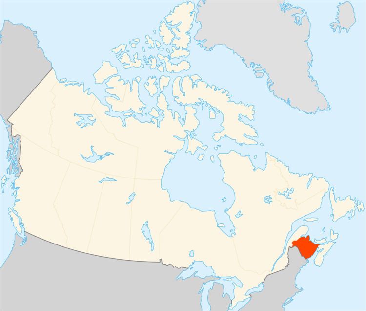
New Brunswick (French: Nouveau-Brunswick) is one of Canada's three Maritime provinces, and the only officially bilingual province (French and English) in the country. Its capital is Fredericton, though its largest city is Saint John and its largest metro Moncton.
Contents
Physical geography
New Brunswick is bounded on the north by Quebec's Gaspé Peninsula and Chaleur Bay and on the east by the Gulf of Saint Lawrence and Northumberland Strait. To the east, the narrow Isthmus of Chignecto connects it to peninsular Nova Scotia, most of which is separated from the mainland by the Bay of Fundy. On its west, the province borders the American state of Maine. The boundary with the U.S. was settled during the "Aroostook War" of 1838-39 which was largely instigated by businessman and political activist John Baker. New Brunswick is one of two provinces (the other being Alberta) to border a single U.S. state.
The total land and water area of the province is 72,908 square kilometres. About 80% of the province is forested, with the other 20% consisting of agricultural land and urban areas. The major urban centres lie in the south of the province. The bulk of the arable land is found in the Upper Saint John River Valley, with lesser amounts of farmland found in the southeast of the province.
While New Brunswick is one of Canada's Maritime Provinces, it differs from its neighbours both ethnoculturally and physiographically. Both Nova Scotia and Prince Edward Island are either wholly or nearly surrounded by water and the ocean therefore tends to define their climate, economy and culture. New Brunswick, on the other hand, although having a significant seacoast, is sheltered from the Atlantic Ocean proper and has a large interior which is removed from oceanic effects. New Brunswick therefore tends to be defined by its rivers rather than its seacoast.
The major river systems in the province include the Saint John River, Petitcodiac River, Miramichi River, St. Croix River and the Restigouche River. The Saint John River is thought to be the second longest river on the North American eastern seaboard between the St. Lawrence River and the Mississippi River.
New Brunswick lies entirely within the Appalachian Mountain range, a chain of ancient, eroded mountains which have created river valleys and low, gently rolling hills throughout large parts of the province. The eastern and central part of the province consists of the New Brunswick Lowland within the Gulf of St. Lawrence lowland forests ecoregion, whereas the Caledonia Highlands and St. Croix Highlands extend along the Bay of Fundy coast, reaching elevations of 300 metres. The northwestern part of the province is the remote and more rugged Miramichi Highlands, Chaleur Uplands, and the Notre Dame Mountains with a maximum elevation at Mount Carleton of 820 metres.
The northern seacoast, along Miramichi Bay, the Gulf of St. Lawrence and the Bay of Chaleur is called the North Shore, a region predominately Francophone, but with sizable English-speaking communities
Rivers
The majority of western New Brunswick is drained by the Saint John River system. The river, which rises in northern Maine, empties into the Bay of Fundy in Saint John. Notable tributaries within the province include the Madawaska River, Tobique River, Meduxnekeag River, Nashwaak River, Oromocto River, Nerepis River and Kennebecasis River. Other water bodies within the Saint John River system are Grand Lake (which itself is fed by the Salmon River), Washademoak Lake (fed by the Canaan River), and Belleisle Bay. The high tides of the Bay of Fundy often cause the Saint John River to flow upstream, an effect most pronounced at the Reversing Falls in Saint John.
The Petitcodiac River, Shepody River, Tantramar River, and Memramcook River empty into Chignecto Bay at the head of the Bay of Fundy. Like the Saint John River, the Bay of Fundy tides cause another upstream phenomenon, known as a tidal bore. The construction of a causeway on the river at Moncton, approximately 50 kilometres upstream, has lessened the tidal bore's effect and changed the river's ecosystem.
Other rivers which empty into the Bay of Fundy include the St. Croix River, Digdeguash River, Magaguadavic River, Lepreau River, Musquash River, and Big Salmon River.
The system of the Miramichi River, which flows into Miramichi Bay at the city of Miramichi, drains a large portion of central New Brunswick. There are two main branches, the Southwest Miramichi River and Northwest Miramichi River, with several smaller tributaries such as the Dungarvon River, Renous River, Bartholomew River and Cains River. The Miramichi River system is noted for its salmon pools and parks.
The Restigouche River system drains a large portion of northwestern and north-central New Brunswick. The river flows into the Bay of Chaleur at its head near Dalhousie, and like the Miramichi, is renowned for its salmon fishing. Notable tributaries are the Kedgwick River, Patapedia River, and Upsalquitch River.
The Nepisiguit River is another notable river feeding the Bay of Chaleur. Smaller rivers into the bay include the Caraquet River, Tetagouche River and Jacquet River.
The Northumberland Strait is fed by the Kouchibouguac, Kouchibouguacis, Richibucto, Bouctouche, Cocagne and Shediac Rivers; while the Gulf of St. Lawrence is fed by the Tabusintac, Big Tracadie and Pokemouche Rivers.
Cultural geography
New Brunswick is a rural province with nearly half of the Province's residents living in rural areas (rural in this instance is defined by type of services available and boundaries of local government units). However, as population growth occurs around the periphery of major cities, these "urban adjacent" areas begin to be more urban in character, in large part describing a departure from a rural community population base.
In the geographical sense, many prominent communities owe their existence to a relationship with or dependence on navigable water because of the access to land and resources it provides.
Communities
Counties and Parishes are the organizational units in which New Brunswick communities reside. Since the disbanding of county government in the mid-1960s, incorporated Cites, Towns, Villages and Rural Communities exist alongside unincorporated units called Local Service Districts in the Province's municipal system. Most unincorporated communities relate to residence in the County, like elsewhere, the Townships, or more recently, in the "shire". New Brunswick can be subdivided into 5 geographic regions; these regions include north-eastern, north-western, south-eastern, south-western and central New Brunswick.
Cities and major municipalities
The major urban areas of the province are Greater Saint John (Saint John, Quispamsis, Rothesay) and Greater Moncton (Moncton, Riverview, Dieppe). Moncton being the largest Metro at 126,424 and Saint John coming in second at 122,389. Greater Fredericton (the provincial capital) has a census agglomeration population of 85,688. The population of New Brunswick is majority English-speaking but with a substantial (35%) French-speaking minority called Acadians (from "Acadia", the former name of this region during the French colonial period). Most Acadians migrated to the area from the Vienne region of France. New Brunswick is the only officially bilingual province in Canada.
10 largest municipalities by population
largest metropolitans by population
Saint John is a port city that is full of maritime culture and the only city on the Bay of Fundy. The city is the oldest incorporated city in Canada with a large urban setting, having some of the most impressive 19th century architecture in Canada. Saint John's main industries include; Tourism, IT,Health and Education sector as well as heavy industry on the East Side including the largest oil refinery in Canada. The city is also home to Moosehead Breweries/ James Ready Breweries. Saint John is an artistic city with a downtown filled with local art galleries with some of the finest restaurants and theatres in Eastern Canada.
Moncton is the largest Metropolitan in New Brunswick, it is the fastest growing city east of Toronto, and is in the top 10 in Canada. Moncton is principally a transportation, distribution, commercial and retail centre. Moncton has a sizeable francophone Acadian minority (35%). The majority of Moncton's recent growth is due to rural depopulation of the north shore of the province.
Fredericton, in addition to being the capital and bureaucratic centre of the province, is a university town, and home to the Beaverbrook Art Gallery, Theatre New Brunswick, the New Brunswick Sports Hall of Fame, and other amenities, including Christ Church Cathedral, whose foundation is the oldest in Canada or the United States. Fredericton is nicknamed the "City of Stately Elms". It has boasted of the largest stand of elms outside of Central Park since Dutch Elm Disease devastated this species in the early 20th century.
National parks
New Brunswick has two national parks.
Provincial parks
There are eleven provincial parks.
International parks
Roosevelt Campobello International Park, on Campobello Island is operated jointly by Canada and the United States and preserves the family cottage of former United States President Franklin Delano Roosevelt.
Saint Croix Island International Historical Site; in the middle of the Saint Croix River, although actually located in the state of Maine and operated by the United States National Park Service, is a significant Canadian historical site and a Parks Canada interpretive centre is located on the Canadian shoreline opposite the island.