
Address Lebanon, KS 66952, USA | ||
 | ||
Hours Open today · Open 24 hoursSaturdayOpen 24 hoursSundayOpen 24 hoursMondayOpen 24 hoursTuesdayOpen 24 hoursWednesdayOpen 24 hoursThursdayOpen 24 hoursFridayOpen 24 hours Similar Meades Ranch, Geographical Center of North Am, Belle Fourche, World's Largest Ball of Tw, Schlitterbahn Kansas City | ||
The geographic center of the contiguous United States is the center of 48 U.S. states. It has been regarded as such by the U.S. National Geodetic Survey (NGS) since the 1912 additions of New Mexico and Arizona to the United States.
Contents
Overview
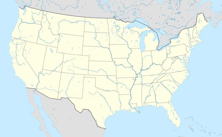
Its position as located in a 1918 survey is located at 39°50′N 98°35′W, in Kansas about 2.6 miles (4.2 km) northwest of the center of Lebanon, approximately 12 miles (19 km) south of the Kansas-Nebraska border.
While any measurement of the exact center of a land mass will always be imprecise due to changing shorelines and other factors, the NGS coordinates are recognized in a historical marker in a small park at the intersection of AA Road and K-191. It is accessible by a turn-off from U.S. Route 281.
It is distinct from the geographic center of the United States, which reflects the 1959 additions of the states of Alaska and Hawaii, which is located at a point northeast of Belle Fourche, South Dakota.
In an unusual technical glitch, a farmstead northeast of Potwin, Kansas became the default site of 600 million IP addresses (due to their lack of fine granularity) when the Massachusetts-based digital mapping company MaxMind changed the putative geographic center of the contiguous United States from 39.8333333,-98.585522 to 38.0000,-97.0000.
Marker
In order to protect the privacy of the private land owner where the point identified by the 1918 survey falls, a proxy marker was erected in 1940 some half a mile away.
Its inscription reads:
The GEOGRAPHIC CENTER of the UNITED STATES
LAT. 39°50' LONG. -98°35'
NE 1/4 - SE 1/4 - S32 - T2S - R11W
Located by L.T. Hagadorn of Paulette & Wilson - Engineers and L.A. Beardslee - County Engineer. From data furnished by U.S. Coast and Geodetic Survey.
Sponsored by Lebanon Hub Club. Lebanon, Kansas. April 25, 1940
An American flag usually flies atop a pole placed on the monument. A covered picnic area and small four-pew chapel are nearby.
Method of measurement
In 1918, the Coast and Geodetic Survey found this location by balancing on a point a cardboard cutout shaped like the U.S. Incredibly, this method was accurate to within 20 miles, but while the Geodetic Survey no longer endorses any location as the center of the U.S., the identification of Lebanon, Kansas has remained.