
Time zone CST (UTC-6) Area 93.55 km² Population 5,704 (2010) | Established November 6, 1849 Elevation 253 m Local time Saturday 6:31 PM | |
 | ||
ZIP codes 60135, 60140, 60145, 60152, 60178 Weather -3°C, Wind N at 10 km/h, 30% Humidity | ||
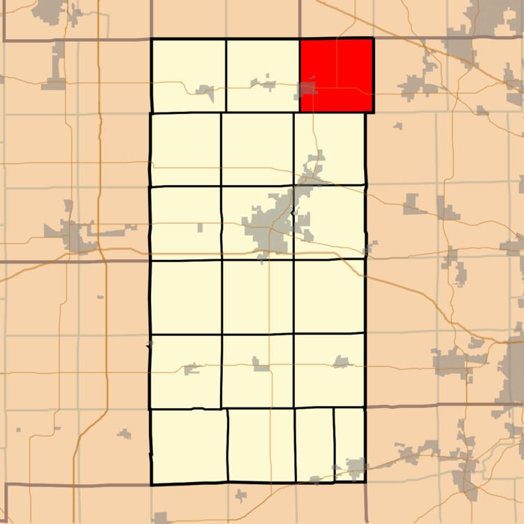
Genoa Township is one of nineteen townships in DeKalb County, Illinois, USA. As of the 2010 census, its population was 5,704 and it contained 2,187 housing units.
Contents
- Map of Genoa Township IL USA
- History
- Geography
- Cities towns villages
- Unincorporated towns
- Cemeteries
- Airports and landing strips
- School districts
- Political districts
- References
Map of Genoa Township, IL, USA
History
Genoa Township is named after Genoa, New York.
Geography
According to the 2010 census, the township has a total area of 36.12 square miles (93.6 km2), of which 36.04 square miles (93.3 km2) (or 99.78%) is land and 0.09 square miles (0.23 km2) (or 0.25%) is water.
Cities, towns, villages
Unincorporated towns
(This list is based on USGS data and may include former settlements.)
Cemeteries
The township contains these two cemeteries: Genoa and Ney.
Airports and landing strips
School districts
Political districts
References
Genoa Township, DeKalb County, Illinois Wikipedia(Text) CC BY-SA