
Country United States County Cayuga FIPS code 36-28673 Elevation 314 m Population 1,935 (2010) Area code 315 | State New York Time zone Eastern (EST) (UTC-5) GNIS feature ID 0978994 Zip code 13071 Local time Saturday 7:33 PM | |
 | ||
Weather -9°C, Wind W at 24 km/h, 78% Humidity Area 111.9 km² (102.6 km² Land / 9.324 km² Water) | ||
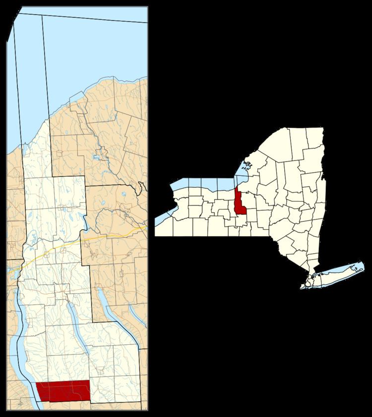
Genoa is a town in Cayuga County, New York, United States. The population was 1,935 at the 2010 census. The town is named after Genoa in Italy.
Contents
- Map of Genoa NY 13071 USA
- History
- Geography
- Demographics
- Communities and locations in Genoa
- Namesakes
- Notable people
- References
Map of Genoa, NY 13071, USA
The town is located in the southwest corner of the county and is north of Ithaca. Genoa is in the heart of the Finger Lakes region.
History
The Sullivan Expedition moved through the area in 1779 destroying native villages and stores. Genoa became part of the Central New York Military Tract. The first settlers arrived in 1791.
The town was created as "Milton" in 1789 while still part of Onondaga County. The name was changed to Genoa in 1808. The town was reduced to form the town of Locke in 1802. Genoa was reduced again in 1817 to form the town of Lansing in Tompkins County.
Geography
According to the United States Census Bureau, Genoa has a total area of 43.2 square miles (111.8 km2), of which 39.6 square miles (102.6 km2) is land and 3.6 square miles (9.2 km2), or 8.26%, is water.
The west town line, marked by Cayuga Lake, is the border of Seneca County, and the south town line is the border of Tompkins County.
New York State Route 34 and New York State Route 34B are north-south highways through the town. New York State Route 90 becomes an east-west highway at Jump Corners.
Demographics
As of the census of 2000, there were 1,914 people, 718 households, and 529 families residing in the town. The population density was 48.3 people per square mile (18.6/km²). There were 927 housing units at an average density of 23.4 per square mile (9.0/km²). The racial makeup of the town was 97.02% White, 0.52% African American, 0.31% Native American, 0.16% Asian, 0.10% Pacific Islander, 1.25% from other races, and 0.63% from two or more races. Hispanic or Latino of any race were 2.40% of the population.
There were 718 households out of which 34.8% had children under the age of 18 living with them, 61.4% were married couples living together, 7.5% had a female householder with no husband present, and 26.3% were non-families. 20.6% of all households were made up of individuals and 8.5% had someone living alone who was 65 years of age or older. The average household size was 2.67 and the average family size was 3.09.
In the town, the population was spread out with 28.2% under the age of 18, 6.8% from 18 to 24, 26.8% from 25 to 44, 24.8% from 45 to 64, and 13.5% who were 65 years of age or older. The median age was 38 years. For every 100 females there were 105.4 males. For every 100 females age 18 and over, there were 100.4 males.
The median income for a household in the town was $43,618, and the median income for a family was $50,473. Males had a median income of $32,679 versus $23,603 for females. The per capita income for the town was $20,960. About 6.1% of families and 8.2% of the population were below the poverty line, including 10.9% of those under age 18 and 6.3% of those age 65 or over.
Communities and locations in Genoa
Namesakes
Genoa, Illinois, was named after Genoa, New York, by early settler Thomas Madison, a Revolutionary War soldier from Ashtabula County, Ohio.