ID number G-12-020 Opened 1947 Width 7.9 m Bridge type Truss bridge | Maintained by MassHighway Total length 230 m | |
 | ||
Carries vehicular and pedestrian traffic Similar Turners Falls Road Bridge, Gill–Montague Bridge, Calvin Coolidge Bridge, Bulkeley Bridge, Canalside Rail Trail Bridge | ||
General pierce bridge closed due to safety concerns
The General Pierce Bridge is a steel truss road bridge over the Connecticut River between Greenfield, Massachusetts and Montague, Massachusetts carrying Montague City Road.
Contents
- General pierce bridge closed due to safety concerns
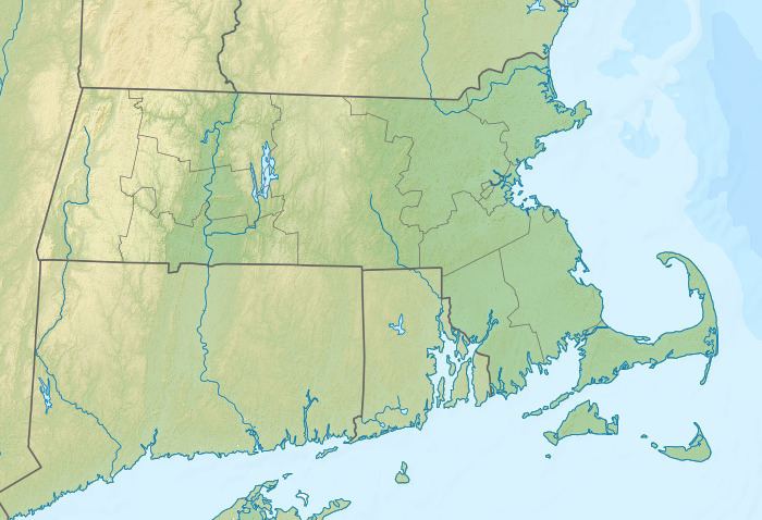
- Map of General Pierce Bridge Greenfield MA 01301 USA
- Previous structures
- References
Map of General Pierce Bridge, Greenfield, MA 01301, USA
It is currently being scheduled for major repairs. After the Gill - Montague Bridge upstream is refurbished, the state will perform further work on this structure.
Previous structures
The current bridge was preceded at that location by two bridges destroyed in the Flood of 1936. Upstream was the wooden double-decked covered bridge known as the Montague City Bridge, and carried rail traffic on top, with other traffic below. It was built in 1866, and was over 860 feet (260 m) long, with 5 spans. Next was the trolley bridge, which was a metal through-truss.
When the Flood of 1936 came, the trolley bridge was knocked off its piers and sunk into the river, where it remains. The covered rail bridge floated down the river, where it knocked two spans off the New York, New Haven and Hartford Railroad Bridge (now known as the Canalside Rail Trail Bridge), then proceeded down the river to destroy the Sunderland Bridge.
