Puneet Varma (Editor)

Geisenfeld

Updated on
Edit
Like
Comment
Share on FacebookTweet on TwitterShare on LinkedInShare on Reddit
Country
  
Germany

Admin. region
  
Oberbayern

Elevation
  
385 m (1,263 ft)

Population
  
9,874 (31 Dec 2008)

Postal code
  
85290

Administrative region
  
Upper Bavaria

State
  
Bavaria

Municipal assoc.
  
Geisenfeld

Area
  
88.33 km²

Local time
  
Saturday 1:40 PM

Dialling code
  
08452

Geisenfeld

District
  
Pfaffenhofen an der Ilm

Weather
  
9°C, Wind SE at 11 km/h, 42% Humidity

Geisenfeld is a town in the district of Pfaffenhofen, in Bavaria, Germany. It is situated on the river Ilm, 16 km (9.94 mi) southeast of Ingolstadt. The town grew up around Geisenfeld Abbey, a convent founded in 1037.

Contents

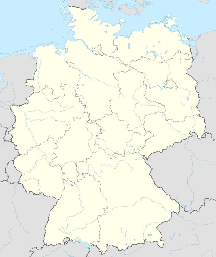
Map of 85290 Geisenfeld, Germany

Subdivisions

Geisenfeld has twelve districts, formerly independent municipalities:

  • Engelbrechtsmünster
  • Gaden including Wasenstadt and Furthof
  • Geisenfeld
  • Geisenfeldwinden
  • Ilmendorf including Einberg
  • Nötting
  • Parleiten including Eichelberg, Holzleiten and Scheuerhof
  • Rottenegg including Hornlohe, Moosmühle and Brunn
  • Schillwitzried including Schillwitzhausen, Schafhof and Gießübel
  • Untermettenbach including Obermettenbach and Ziegelstadel
  • Unterpindhart including Kolmhof, Untereulenthal and Obereulenthal
  • Zell including Ainau, Ritterswörth, Unterzell and Oberzell
  • Sons and daughters of the town

  • Gregor Strasser (1892-1934), national socialist politician, publisher and participant in Hitler-Ludendorff-Putsch
  • References

    Geisenfeld Wikipedia