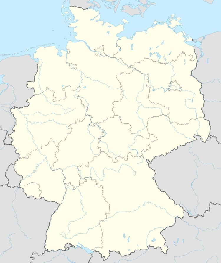
Elevation 50 m (160 ft) Area 11.13 km² Population 3,310 (31 Dec 2007) Dialling code 05741 | Town Lübbecke Time zone CET/CEST (UTC+1/+2) Local time Saturday 1:13 PM Postal code 32312 | |
 | ||
Weather 11°C, Wind E at 10 km/h, 53% Humidity | ||
Gehlenbeck is a village in the East Westphalian borough of Lübbecke in the county of Minden-Lübbecke in North Germany. The former clustered village (Haufendorf) is the second most populous village today in the borough. A stream flows through the village, the Gehle Beke (High German: gelber Bach; English: "Yellow Brook"), that once gave its name to the village. The village's parish has an area of around 11 km². With 297 inhabitants per km² Gehlenbeck is rather less densely settled than the borough of Lübbecke (398 people/km²).
Contents
Map of Gehlenbeck, 32312 L%C3%BCbbecke, Germany
Literature
References
Gehlenbeck Wikipedia(Text) CC BY-SA
