PIN 824231 Local time Saturday 5:43 PM | Time zone IST (UTC+5:30) Nearest city Gaya ISO 3166 code ISO 3166-2:IN | |
 | ||
Weather 26°C, Wind NW at 8 km/h, 52% Humidity | ||
Gehlaur the mountain dashrath manjhi cut
Gehlaur a village located in Muhra Tehsil of Gaya district in Bihar State, India.
Contents
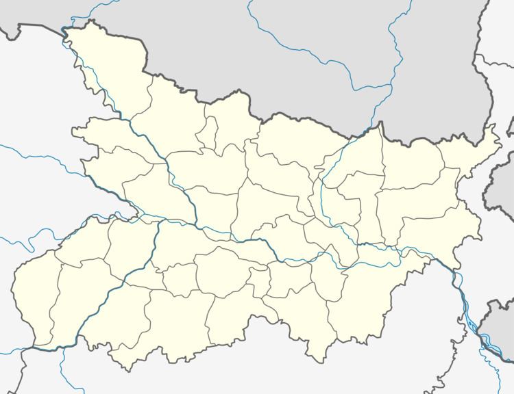
Map of Gehlaur, Bihar
Notability
Gehlaur is the same village where the legendary ‘Mountain Man’ Dashrath Manjhi who hand-chiselled a road through a rocky mountain to connect his inaccessible village to the nearest town, lived. He was a poor man who worked as a labourer in Gehlaur village. He carved a path through a huge mountain in the Gehlaur Hills using only a hammer and chisel as his tools, only because his village did not have easy access to medical attention.
He came up with this idea after his wife Falguni Devi died from lack of medical care in 1960. The nearest town which could offer a good doctor and required medical attention was 70 km away traveling around the hills. But, after 22 years of work, patience and perseverance, this one man army, Dashrath shortened the distance between the Atri and Wazirganj blocks of Gaya town from 55 km to 15 km, cutting a 360-ft-long and 25-ft-wide road through a hill to link Ghivra Mauja of Dashrath Nagar, in Gehlaur Ghati, to Atara Prakhand, Wazirganj.
Post his death, Dashrath Manjhi was given due respect and a state funeral by the Government of Bihar.
