
Local time Saturday 8:01 AM | Number of airports 1 | |
 | ||
Weather 27°C, Wind E at 18 km/h, 14% Humidity | ||
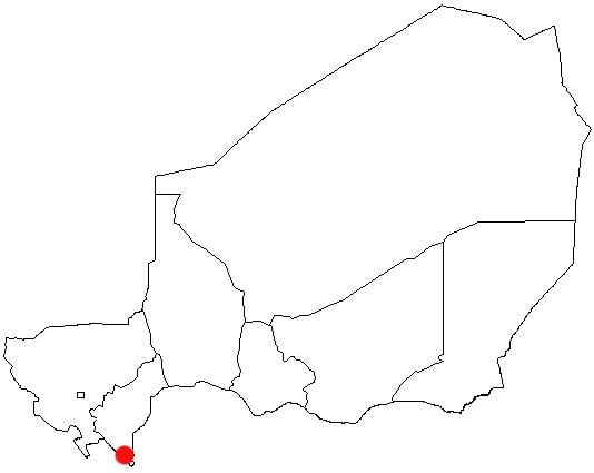
Gaya is a city in the Dosso Region of Niger. The city is situated 254 km southeast of the capital, Niamey, is located on the banks of the Niger River, and is near the borders with Benin and Nigeria. Gaya has a population of 28,385 (2001 census). The wettest area in Niger, Gaya averages 800 mm in rainfall a year.
Contents
Map of Gaya, Republic of Niger
There is a bridge connecting Gaya to the town of Malanville in Benin.
Namesake
There is another town in Niger of the same name.
References
Gaya, Niger Wikipedia(Text) CC BY-SA