
 | ||
Neighborhoods Dantakali, Majhi Tole, Sudamvitta, Sherpa Tole, Thekitola, Lower Dantakali | ||
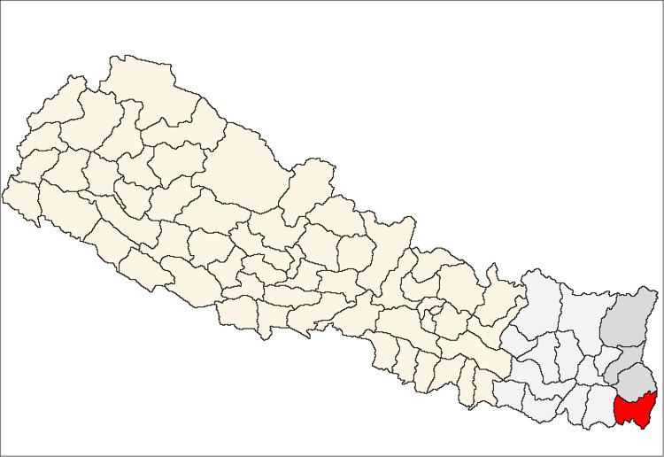
Gauriganj गौरीगञ्ज is a village and village development committee in the SW corner of Jhapa District in the Mechi Zone of south-eastern Nepal. It is in a flat agricultural district in the extreme SE of Nepal, between Kadamgachhi and Hukkagachhi, and only about 3 km from the border with Bihar, India.
Map of Gauriganj, Nepal
References
Gauriganj, Nepal Wikipedia(Text) CC BY-SA