
Local time Friday 7:35 PM | Incorporated 1970 Population 233 (2011) Area code 709 | |
 | ||
Time zone Newfoundland Time (UTC-3:30) Weather -4°C, Wind W at 29 km/h, 68% Humidity | ||
Gaskiers-Point La Haye is a town in Newfoundland and Labrador, Canada, located in St. Mary's Bay. It is located southwest of St. Mary's. It became a local government community in 1970. In 2011, the town had a population of 233.
Contents
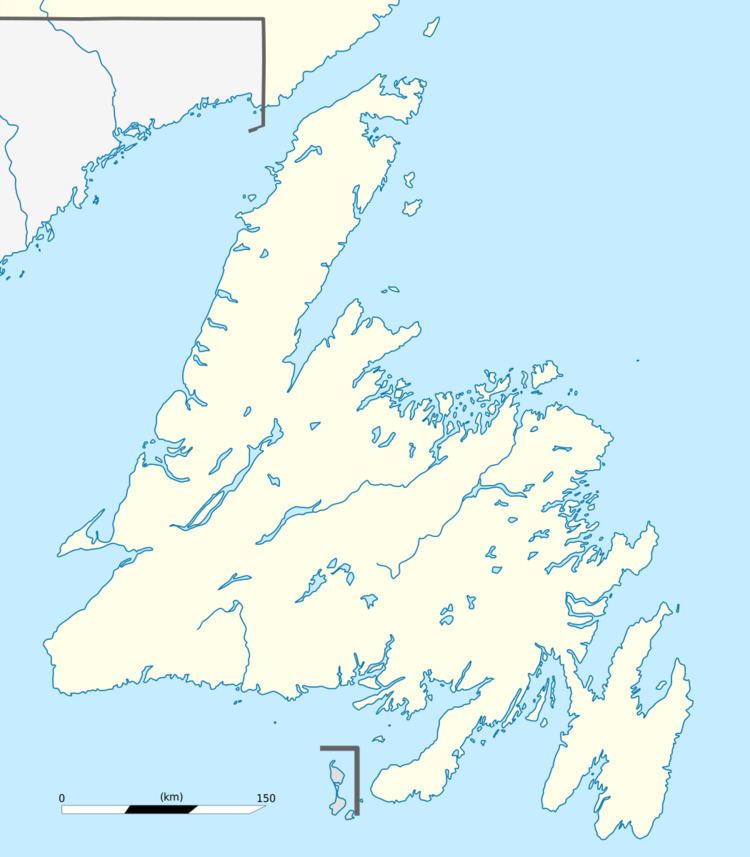
Map of Gaskiers-Point La Haye, NL, Canada
Local attractions
Hare Hill Trail (Point La Haye) is a well-developed trail that was originally used by wood cutters, hunters and berry pickers for centuries. The trail is a total of three kilometres long and reaches an elevation of 135 m at its highest point. Upon reaching the top, there is a view of many communities in St. Mary's Bay.
Towns and communities nearby
References
Gaskiers-Point La Haye Wikipedia(Text) CC BY-SA