
PIN 743133 Elevation 13 m | Time zone IST (UTC+5:30) Telephone code 91 33 Local time Saturday 2:43 AM | |
 | ||
Weather 24°C, Wind S at 0 km/h, 89% Humidity | ||
Garulia is a town and a municipality under Noapara police stations of Barrackpore subdivision in North 24 Parganas district in the state of West Bengal, India. It is a part of the area covered by Kolkata Metropolitan Development Authority. Garulia Municipality is sub-divided into 20 wards for the purpose of municipal election and functions.
Contents
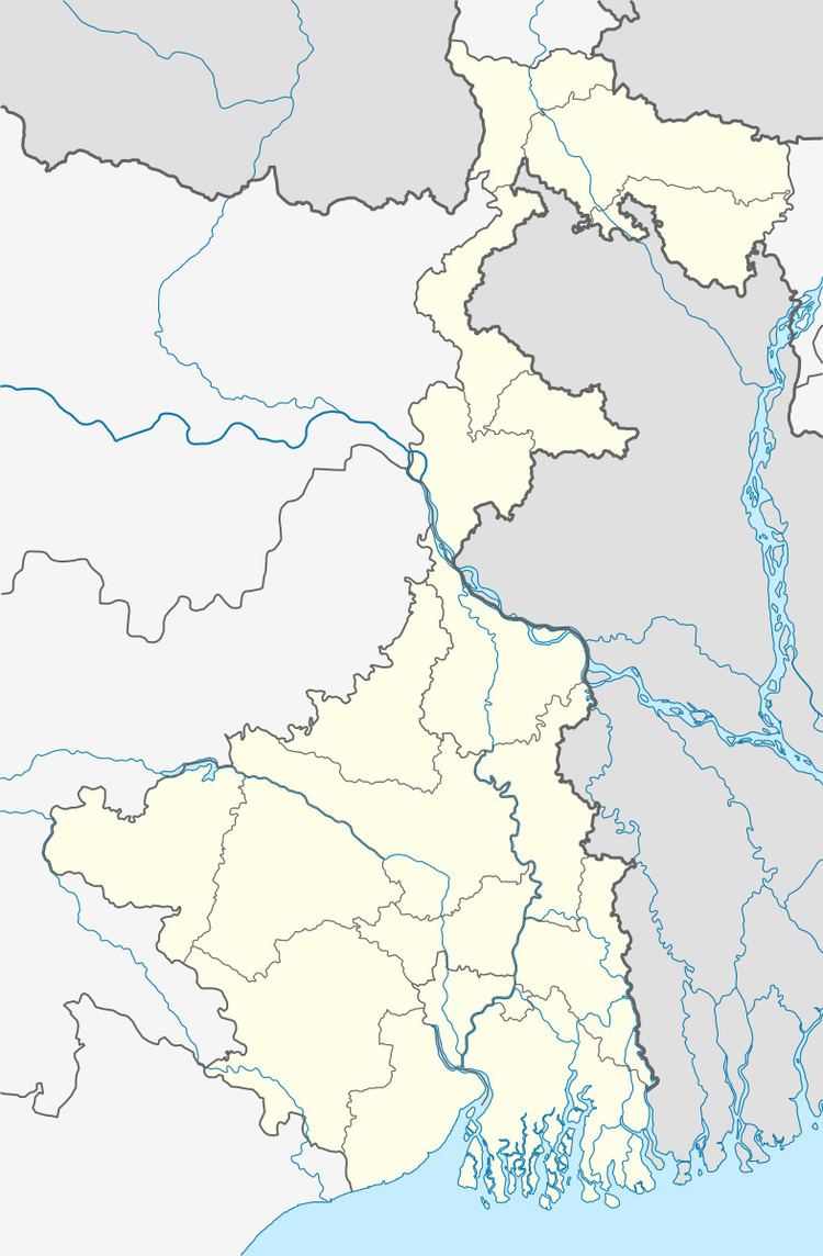
Map of Garulia, Kolkata, West Bengal
Geography
Garulia is located at 22.82°N 88.37°E / 22.82; 88.37. It has an average elevation of 13 metres. Cool air blows in winter and very heavy rain falls in summer. Inhabitants are Hindus, Muslims and others. The Bengalis are people of Bangladesh and Indian Bengalis. There are ferry services which continue until midnight. (43 feet).
Demographics
As of 2001 India census, Garulia had a population of 76,309. Males constitute 53% of the population and females 47%. Garulia has an average literacy rate of 73%, higher than the national average of 59.5%: male literacy is 79%, and female literacy is 67%. In Garulia, 10% of the population is under six years of age.
Healthcare
North 24 Parganas district has been identified as one of the areas where ground water is affected by arsenic contamination.
Mosques
Garulia have several mandir also. Sitla Mandir is one of the oldest temples in Garulia. One There is one Holy Murali Manohar mandir in Garulia Bazar.