
Irish grid reference N441606 | ||
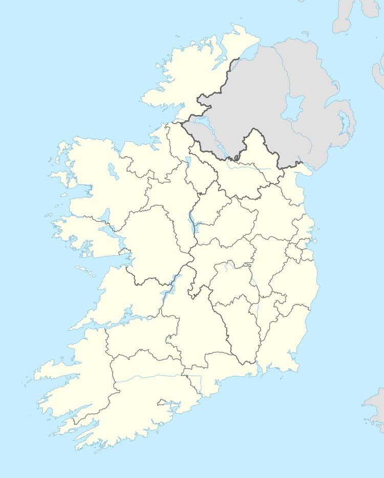 | ||
Garrysallagh is a townland in County Westmeath, Ireland. It is located about 7.66 kilometres (5 mi) north of Mullingar.
Map of Garrysallagh, Mornington, Co. Westmeath, Ireland
Garrysallagh is one of 11 townlands of the civil parish of Stonehall in the barony of Corkaree in the Province of Leinster. The townland covers 238 acres (0.96 km2). The south–western boundary of the townland is formed by the River Gaine, a tributary of the River Inny.
The neighbouring townlands are: Galmoylestown Lower to the north, Galmoylestown Upper to the east, Ballynagall and Kilmaglish to the south and Down and Loughanstown to the west.
In the 1911 census of Ireland there were 5 houses and 17 inhabitants in the townland.
References
Garrysallagh, County Westmeath Wikipedia(Text) CC BY-SA