
Country United States ZIP codes 84728 Elevation 1,608 m Local time Friday 1:17 PM | Time zone Mountain (MST) (UTC-7) GNIS feature ID 1428153 Zip code 84728 Area code 435 | |
 | ||
Weather 19°C, Wind S at 10 km/h, 26% Humidity | ||
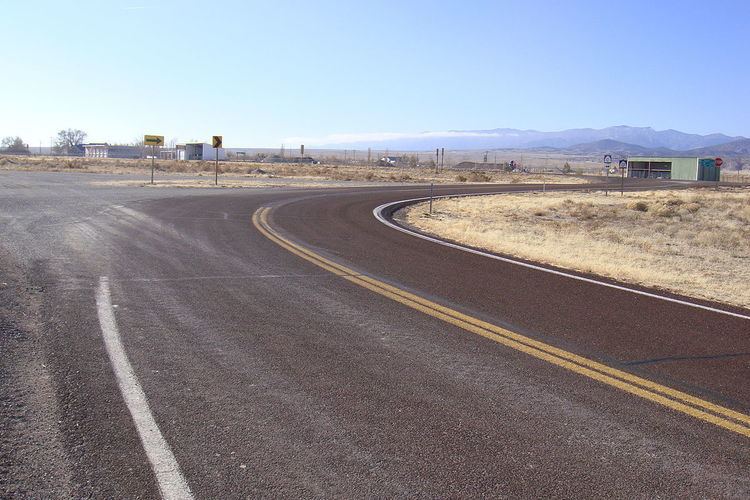
Garrison is an unincorporated community in western Millard County, Utah, United States. It is home to a Utah Department of Transportation yard and office, but other than that, offers no services.
Contents
Map of Garrison, UT, USA
Geography
Garrison is located in Snake Valley in the far west central area of the state just east of the Nevada state line. In fact, some of the town's farms and structures are legally in Nevada. The Great Basin National Park is in Nevada just a few miles west of the border, accessed via Baker.
History
Founded as a cattle rustling and outlaw community in the 1850s, the town of Garrison later became the center of mining interests. The name comes from the Garrison family who farmed in the area. After mining interests subsided, the Garrisons had a livestock and hay ranch. Mrs. Garrison was a schoolteacher who also handled the mail, and the town's name honors her.
Climate
Garrison experiences a semi-arid climate with hot summers and cold winter. Due to Garrison's elevation and aridity, the Diurnal temperature variation is substantial.