
Population 3,198 (2011 census) Postcode(s) 2605 Founded 1966 Postal code 2605 | Established 1966 District Woden Valley Area 2.7 km² | |
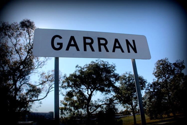 | ||
Garran is a suburb in the Woden district of Canberra in the Australian Capital Territory. Garran was named after Sir Robert Garran who made numerous contributions to the development of higher education in Canberra. The streets in Garran are named after Australian writers. On Census night 2011, Garran had a population of 3,198 people. The suburb was first settled in 1966 and has an area of 2.74 km².
Contents
Map of Garran ACT 2605, Australia
The Canberra Hospital is located in Garran. The suburb also contains three primary schools: a government school, Garran Primary, a special school for the intellectually disabled, Malkara School and a Catholic school, Sts. Peter & Paul Primary School.
Geology
Garran contains volcanic materials from the Silurian Age. Deakin volcanics purple and green tuff is under the Canberra hospital, around Ingamells Street in the north and the base of Davidson Hill. Deakin Volcanics coarse dark purple rhyodacite is under Fitchett Street and Couvreur Street areas. Deakin Volcanics green grey and purple rhyodacite is in the center and south of Garran.