Population 329 (2011 census) Garradunga Jubilee Heights | Postcode(s) 4860 State electorate(s) Mulgrave Postal code 4860 | |
 | ||
Location 13.2 km (8 mi) N of Innisfail | ||
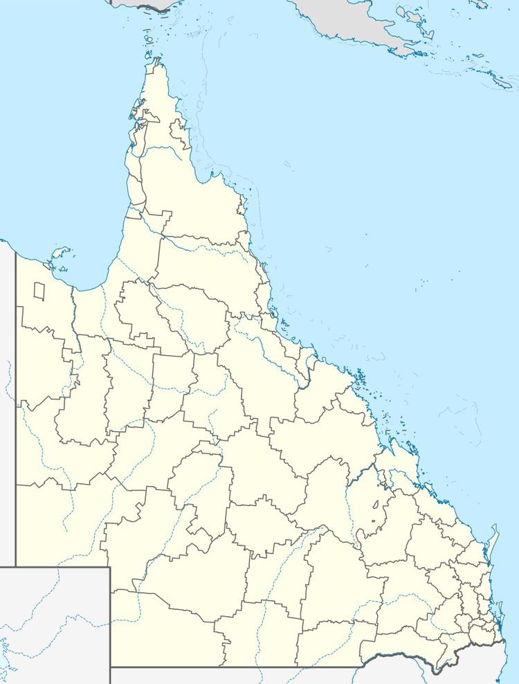
Garradunga is a locality in Queensland, Australia, located north of Innisfail, Queensland within the local government area of Cassowary Coast Region. In the 2011 census, Garradunga had a population of 329 people.
Contents
Map of Garradunga QLD 4860, Australia
History
Garradunga Post Office opened on 1 April 1925 (a receiving office had been open from 1923, and between 1901 and 1906).
Heritage listings
Garradunga has a number of heritage-listed sites, including:
References
Garradunga Wikipedia(Text) CC BY-SA
