
Country United States FIPS code 05-25780 Elevation 69 m Zip code 71839 Local time Friday 12:21 PM | Time zone Central (CST) (UTC-6) GNIS feature ID 0076999 Area 210 ha Population 237 (2013) | |
 | ||
Weather 18°C, Wind NE at 19 km/h, 59% Humidity | ||
Flooding at garland arkansas
Garland, also known as Garland City, is a town in Miller County, Arkansas, United States. It is part of the Texarkana, Texas - Texarkana, Arkansas Metropolitan Statistical Area. The population was 242 at the 2010 census.
Contents
- Flooding at garland arkansas
- Map of Garland City AR USA
- Geography
- Demographics
- Highways
- Airports
- References
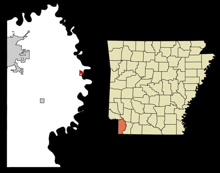
Map of Garland City, AR, USA
Former Nevada Governor Kenny Guinn was born in Garland.
A. Lynn Lowe, former chairman of the Republican Party of Arkansas and the party's 1978 gubernatorial nominee against Bill Clinton, farms at Garland near the Red River.
Geography
Garland is located at 33°21′44″N 93°42′54″W (33.362268, -93.715081).
According to the United States Census Bureau, the town has a total area of 2.1 km² (0.8 mi²), all land.
Demographics
As of the census of 2000, there were 352 people, 133 households, and 88 families residing in the town. The population density was 165.7/km² (428.6/mi²). There were 164 housing units at an average density of 77.2/km² (199.7/mi²). The racial makeup of the town was 27.84% White, 69.89% Black or African American, 0.28% Native American, 0.28% Asian, and 1.70% from two or more races. 0.57% of the population were Hispanic or Latino of any race.
There were 133 households out of which 25.6% had children under the age of 18 living with them, 35.3% were married couples living together, 23.3% had a female householder with no husband present, and 33.1% were non-families. 29.3% of all households were made up of individuals and 13.5% had someone living alone who was 65 years of age or older. The average household size was 2.65 and the average family size was 3.24.
In the town, the population was spread out with 25.6% under the age of 18, 9.1% from 18 to 24, 25.0% from 25 to 44, 26.4% from 45 to 64, and 13.9% who were 65 years of age or older. The median age was 38 years. For every 100 females there were 92.3 males. For every 100 females age 18 and over, there were 87.1 males.
The median income for a household in the town was $17,500, and the median income for a family was $20,625. Males had a median income of $24,375 versus $15,000 for females. The per capita income for the town was $9,292. About 37.6% of families and 44.7% of the population were below the poverty line, including 62.5% of those under age 18 and 38.9% of those age 65 or over.
Highways
Airports
Garland has a small airstrip on the south side of the town that is mostly used by crop dusters.