
Country Germany Admin. region Upper Bavaria Elevation 481 m (1,578 ft) Area 28.16 km² Postal code 85748 | State Bavaria District Munich Time zone CET/CEST (UTC+1/+2) Local time Friday 1:18 PM Population 15,224 (31 Dec 2008) | |
 | ||
Weather 7°C, Wind NW at 19 km/h, 54% Humidity | ||
Garching bei München or Garching is a city in Bavaria, Germany near Munich. It is the home of several research institutes and university departments. It became a city on 14 September 1990.
Contents
- Map of 85748 Garching Germany
- Location
- Districts
- Transport
- Educational and research institutes
- International relations
- Sport
- References
Map of 85748 Garching, Germany
Location
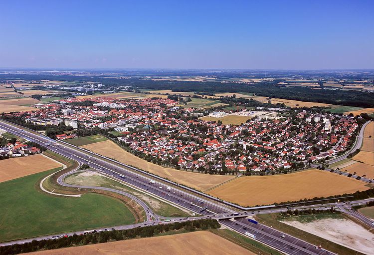
The town is at 48°15′N 11°39′E, near the River Isar and the A9 autobahn.
Garching has a number of scientific research institutes and scientific experiments located in the city, including a linear accelerator and a research nuclear reactor. The nuclear research reactor, nicknamed Atomei (nuclear egg) appears in the city's coat of arms, and started the process leading to an accumulation of research institutes. A number of roads and places in the city are named after scientists, mathematicians and technical innovators, including "Carl-Von-Linde-Strasse", "Dieselstrasse", "Einsteinstrasse", "Eulerweg", "Heisenbergstrasse", "Max-Planck-Strasse", "Röntgenstrasse", "Schrödingerweg".
Districts
The town has four districts:
Transport
The Munich U-Bahn metro line 6 connects the city with the stations Garching-Hochbrück, Garching and Garching-Forschungszentrum.
Educational and research institutes
Several research and scientific educational institutions are based in Garching, including:
International relations
Garching bei München is twinned with:
Sport
The town's association football club VfR Garching, formed in 1921, experienced its greatest success in 2014 when it won promotion to the Regionalliga Bayern for the first time.