Local time Friday 12:54 PM | Elevation 596 m Parent range Krzeszowskie Wzgórza | |
 | ||
Weather 5°C, Wind N at 11 km/h, 66% Humidity Voivodeship Świętokrzyskie Voivodeship | ||
Garbacz [ɡarbatʂ] (ger. Seidelberg, 596 m a.s.l.) – peak 596 and 594 m a.s.l. u at the eastern foot of Krzeszowskie Wzgórza.
Contents
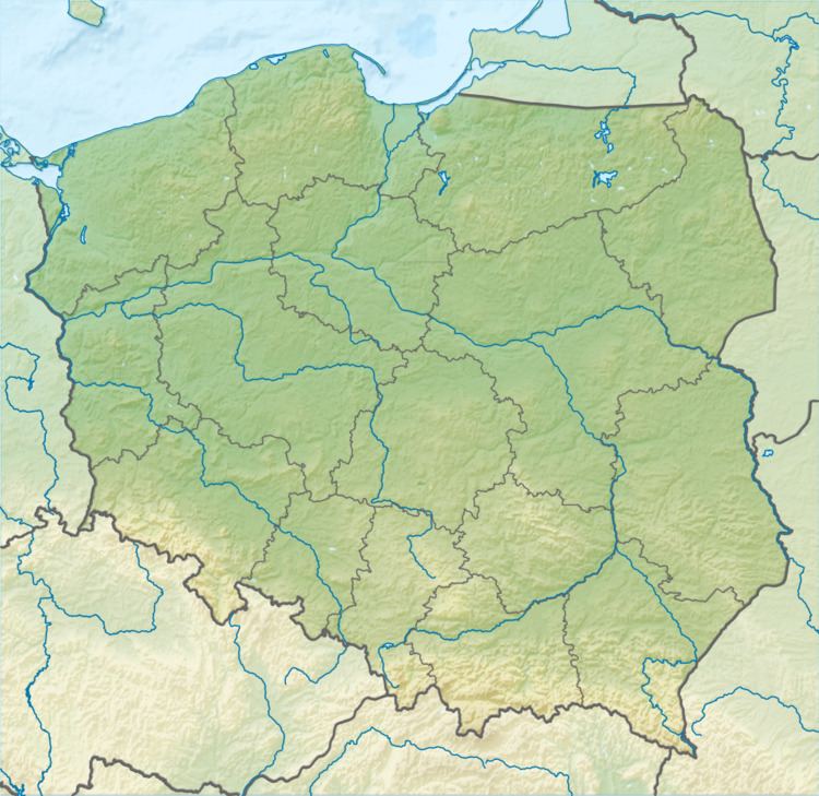
Map of Garbacz, Poland
Position
Garbacz grows west of Grzędy Górne.
The geological structure
Elevation is composed of Permian porphyry conglomerate, to the east, passing the claystone and mudstone.
Vegetation
Hill is exposed, covered with meadows, through which run numerous field roads, including one clearer than the trench small pass separating the two vertices. Below are growing small groves.
References
Garbacz Wikipedia(Text) CC BY-SA
