
Population 551 (2011 census) Postal code 2405 | Postcode(s) 2405 Local time Friday 10:36 PM | |
 | ||
Weather 23°C, Wind SE at 11 km/h, 36% Humidity | ||
Garah is a town in north western New South Wales, Australia. The town is in the Moree Plains Shire local government area and on the Carnarvon Highway, 667 kilometres (414 mi) north west of the state capital, Sydney and 51 kilometres (32 mi) north west of the regional centre of Moree. It is on the Mungindi railway line between Mungindi and Moree. At the 2011 census, Garah and the surrounding area had a population of 551.
Map of Garah NSW 2405, Australia
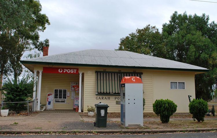
Facilities in the town include a post office, primary school, police station, tennis courts, grain silo, CWA hall, town hall, pre-school, corner shop, pub, race course, small petrol bowser, Catholic church and a Presbyterian Church. Local activities include agriculture.
Garah is also said to have the oldest running picnic races in Australia.
The Mungindi, or North West railway line passes through the town and a station was open between 1913 and 1974.