
Province Hebei Municipal seat Lianzhou Area 836 km² Local time Friday 6:44 PM | Prefecture-level city Shijiazhuang Elevation 57 m (187 ft) Postal code 52100 Population 775,100 (2010) | |
 | ||
Country People's Republic of China Township-level divisions 13 towns
1 ethnic township Weather 13°C, Wind SE at 8 km/h, 22% Humidity | ||
Gaocheng (Chinese: 藁城) is a district under the administration of Shijiazhuang in southwestern Hebei province, People's Republic of China, on the upper reaches of the Hutuo River (滹沱河). The city has a total area of 836 square kilometres (323 sq mi) and in 2010 had a population of 743,000.
Contents
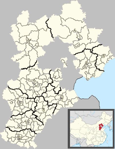
Map of Gaocheng, Shijiazhuang, Hebei, China
History
In 113 BCE, during the Western Han Dynasty, Cheng County (城縣) was established, and renamed as Gaocheng County (藁城縣) during the Yuan Dynasty. The present county-level was established in July 1989.
Administrative divisions
There are 13 towns and 1 township.
Towns:
Townships:
Transport
References
Gaocheng District Wikipedia(Text) CC BY-SA