
Affiliation Agricultural Union Founded by Demobilised soldiers Local time Friday 12:09 PM | Founded 1950 Population (2015) 623 | |
 | ||
Weather 19°C, Wind W at 5 km/h, 73% Humidity | ||
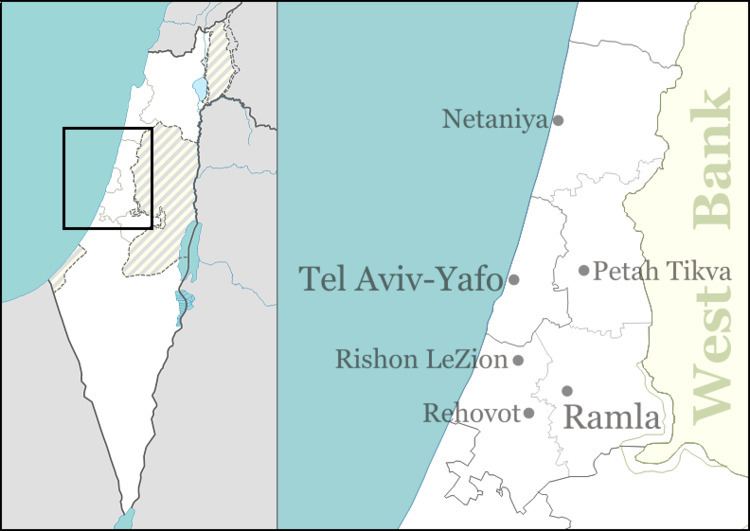
Ganot (Hebrew: גַּנּוֹת, lit. Gardens; Arabic: غنوت) is a moshav in central Israel. Located near the Hiriya now Ariel Sharon Park, it falls under the jurisdiction of Lod Valley Regional Council. In 2015 it had a population of 623.
Contents
Map of Ganot, Israel
History
The village was first established in 1950 by demobilised soldiers, but was later abandoned. It was re-established in 1955 by Rassco (the Rural and Suburban Settlement Company) and took in residents from all over the country. Its name is taken from the Book of Amos 9:14;
And I will turn the captivity of My people Israel, and they shall build the waste cities, and inhabit them; and they shall plant vineyards, and drink the wine thereof; they shall also make gardens, and eat the fruit of them.
The Ganot interchange, a junction between Highway 1 and Highway 4, is located next to the moshav.