
Population 179 (2011) Community Ganllwyd Sovereign state United Kingdom Local time Friday 9:56 AM | OS grid reference SH726244 Country Wales Postcode district LL40 Dialling code 01341 | |
 | ||
Weather 9°C, Wind SW at 11 km/h, 100% Humidity | ||
Ganllwyd is a small village and community in southern Gwynedd, Wales. It lies in the Snowdonia National Park to the north of Dolgellau. A470 passes through it. The Community population taken at the 2011 Census was 179.
Contents
Map of Ganllwyd, Dolgellau, UK
Geography
The village, which lies where the old Roman road used to ford the River Eden just before it joins with the rivers Mawddach and River Gamlan has 3 large waterfalls and many smaller ones all within Coed y Brenin (the forest of the king).
Features
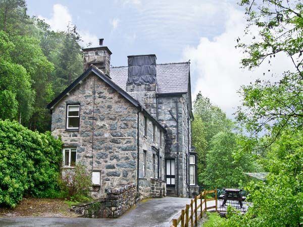
The village includes Dolmelynllyn Hall (now a Hotel and owned by the National Trust), and the area is also referred to as Dolmelynllyn. One author suggests an Arthurian link to the village but there is no other corroboration.
The village is now surrounded by Forestry Commission and National Trust parkland of conifers and oaks. A large area of surrounding ancient oak woodland is a designated SSSI and has a particularly rich temperate maritime Bryophyte community. The forest has a group of Wellingtonia planted in the early 20th century and Dolmelynllyn has two trees dating from the 1850s in the meadow, one being the second largest in Wales . The forests are full of wildlife, with deer, red squirrels, pine martens, polecats, otters, and other mammals, and a variety of birds from black grouse to merlins, buzzards, and red kites. There are many walks from the village into the forest, and several free car parks.