
District Visakhapatnam Elevation 1,097 m | Time zone IST (UTC+5:30) Local time Friday 2:12 PM | |
 | ||
Weather 21°C, Wind SW at 16 km/h, 90% Humidity | ||
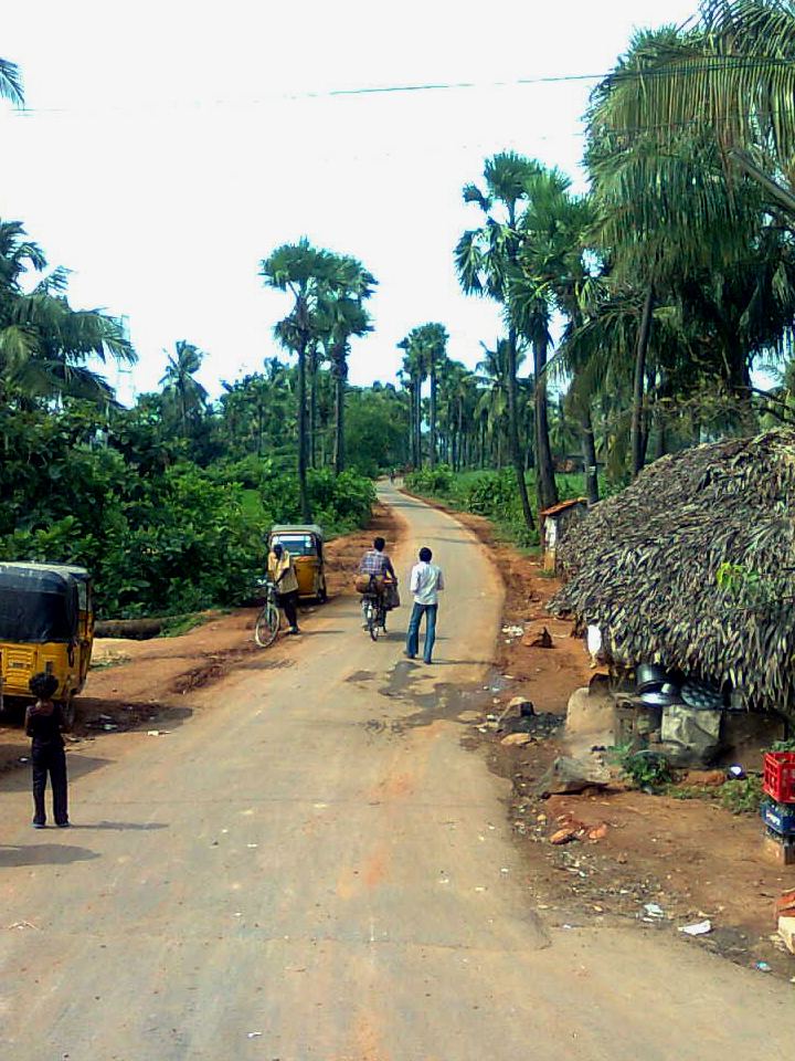
G.Madugula or Gangaraju Madugula is a village and a Mandal in Visakhapatnam district in the state of Andhra Pradesh in India.
Contents
Map of Gangarajumadugula, Andhra Pradesh 531029
Geography
Gangarajumadugula is located at 18.0167°N 82.5000°E / 18.0167; 82.5000. It has an average elevation of 1097 metres (3602 ft).
References
Gangaraju Madugula Wikipedia(Text) CC BY-SA