
Official name Gangapur Dam D01034 Opening date 1865 Impounds Godavari river Height 37 m | Location Nasik Type of dam Earthfill Length 3,902 m (12,802 ft) Surface area 22,860 km² | |
 | ||
Similar Coin Museum, Pandavleni Caves, Kalaram Temple, Anjaneri, Saptashrungi | ||
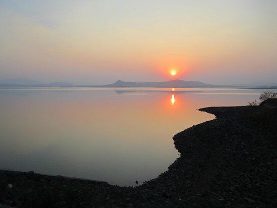
Gangapur dam backwaters nashik
Gangapur Dam, is an earthfill dam on Godavari river near Nashik in the state of Maharashtra in India.
Contents
- Gangapur dam backwaters nashik
- Map of Gangapur Dam Nashik Maharashtra 422222
- Specifications
- Purpose
- References
Map of Gangapur Dam, Nashik, Maharashtra 422222
Specifications
The height of the dam above lowest foundation is 36.59 m (120.0 ft) while the length is 3,902 m (12,802 ft). The volume content is 4,612 km3 (1,106 cu mi) and gross storage capacity is 215,880.00 km3 (51,792.37 cu mi).
Due to silt deposition in the reservoir area, the storage capacity of the dam has gradually reduced. The right side canal running towards Nashik is also closed due to the high civilization in the area. For these two reasons, an upstream dam, Kashypi Dam, is constructed which opened in 1998.
Purpose
one of the earthen dam having emergency spillway
References
Gangapur Dam Wikipedia(Text) CC BY-SA